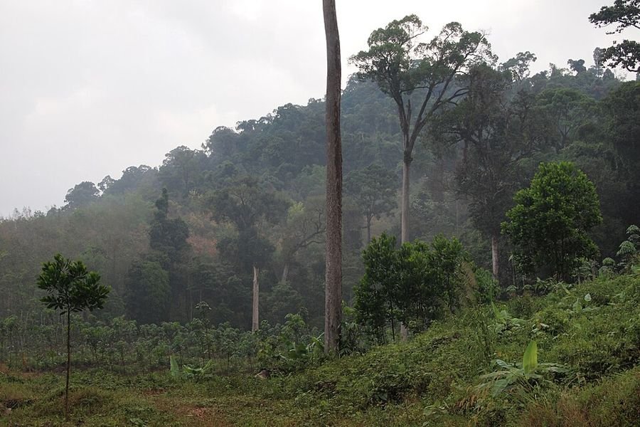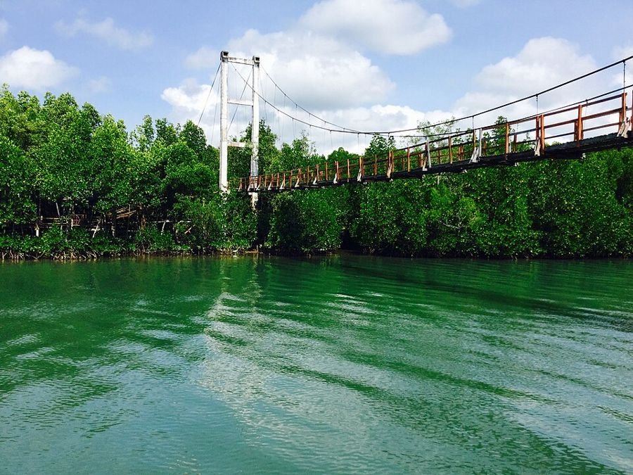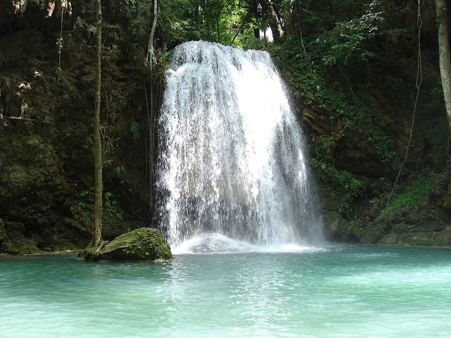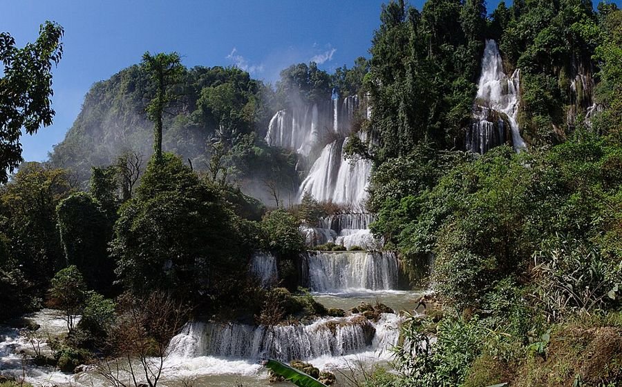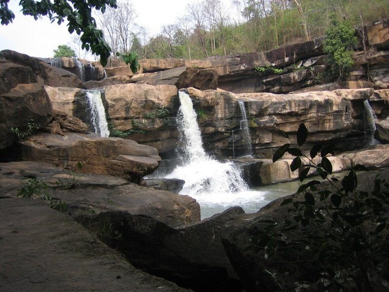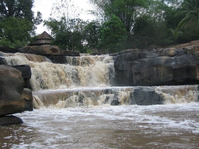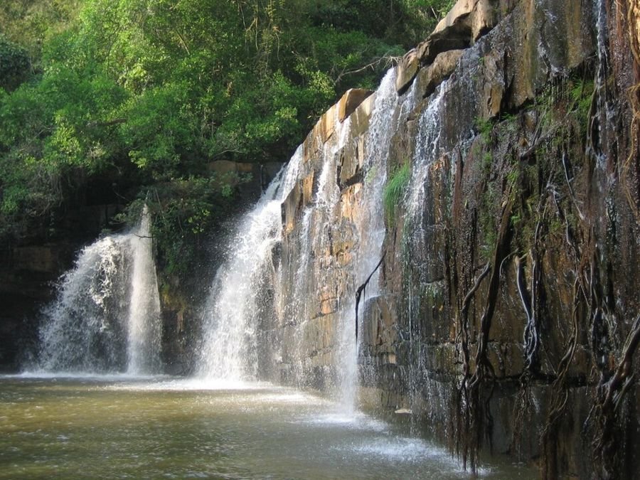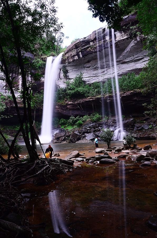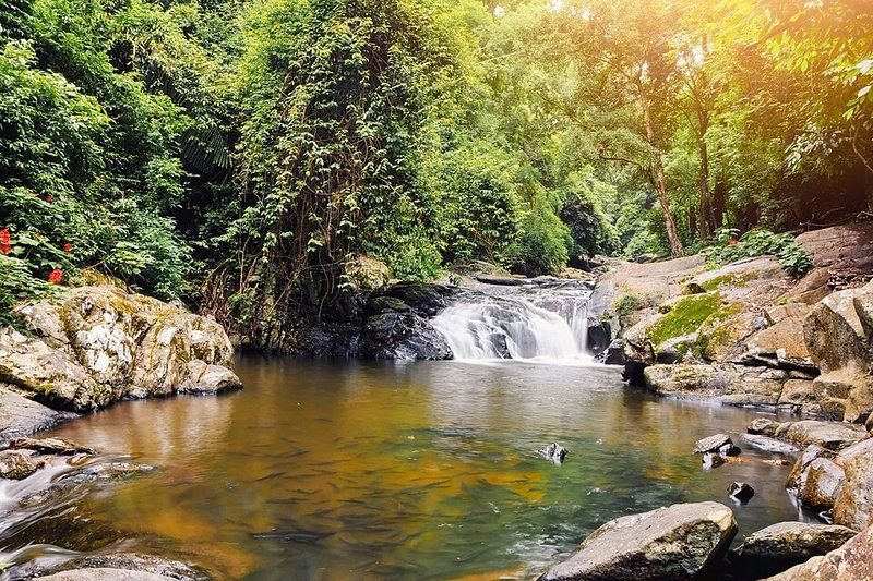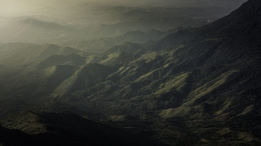
Thailand nature guide

National parks & waterfalls

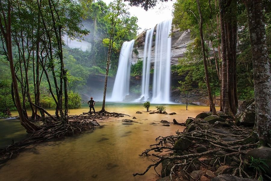
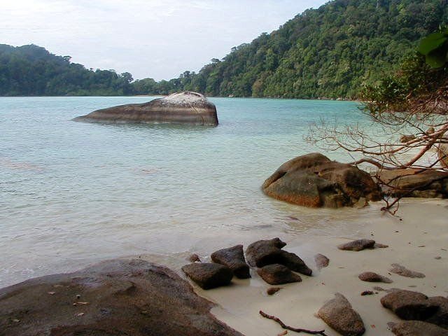
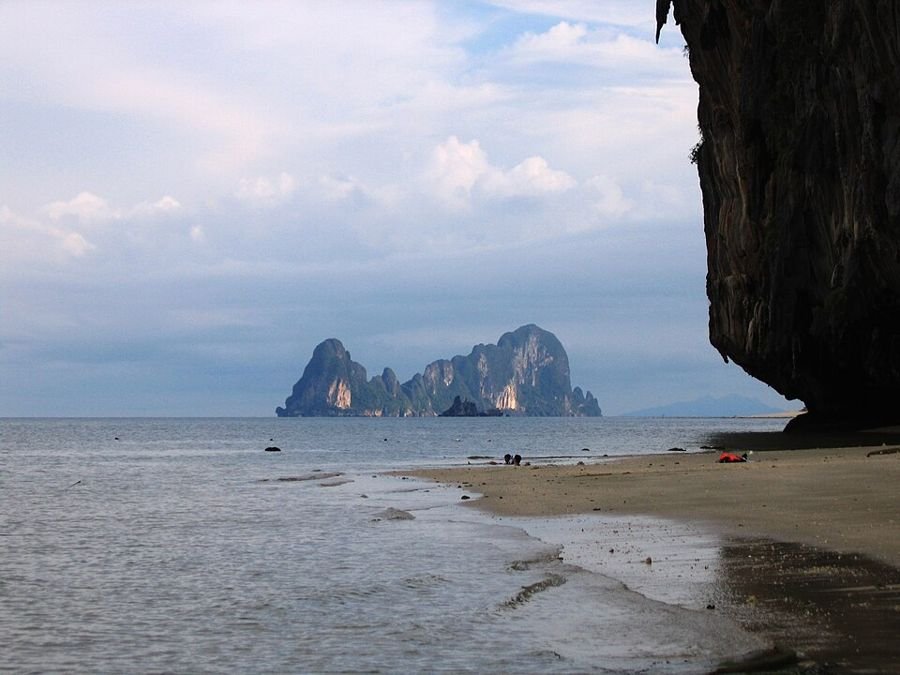
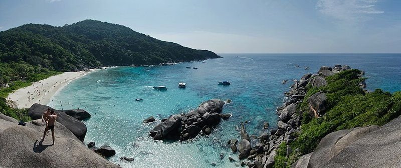
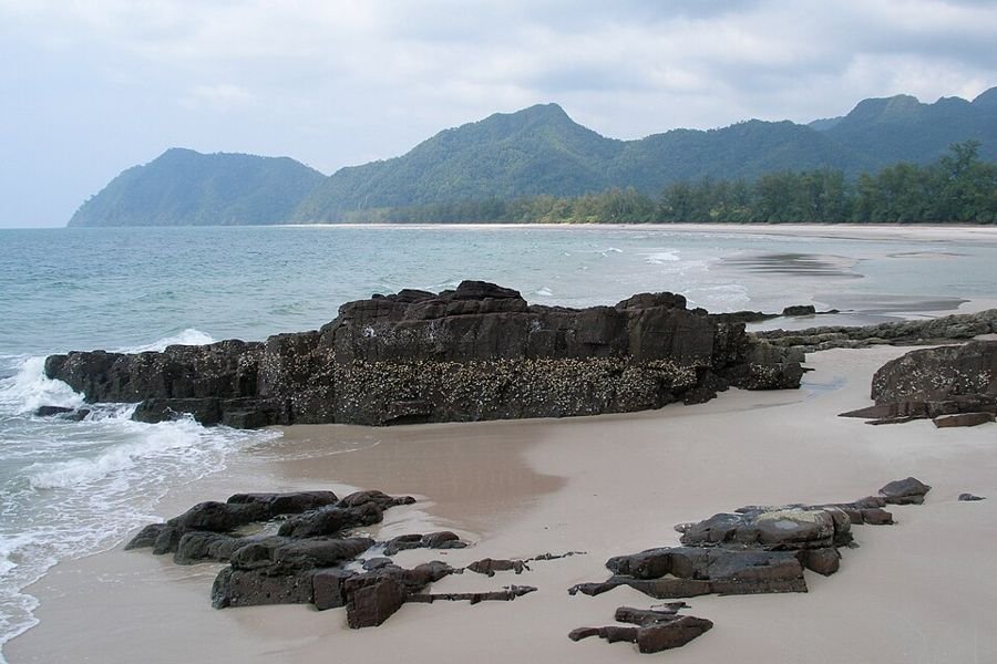
From the cloud forests of Doi Inthanon to the turquoise tiers of Erawan and the coral reefs of the Similan Islands: discover Thailand's finest nature, and when to go.

53national parks
16marine parks
44waterfalls

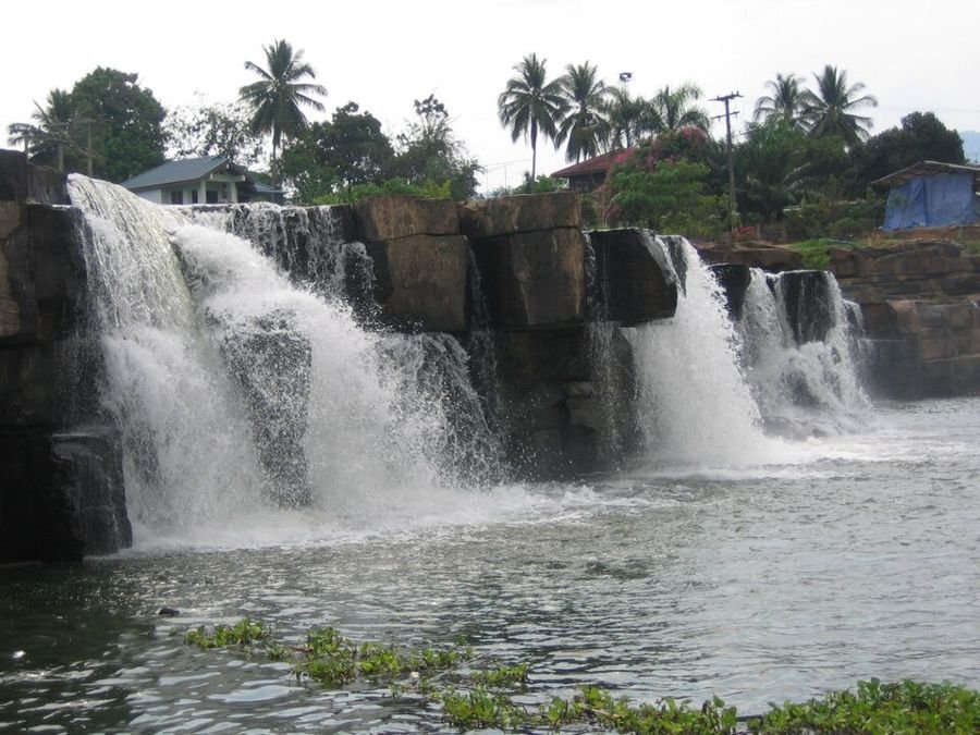
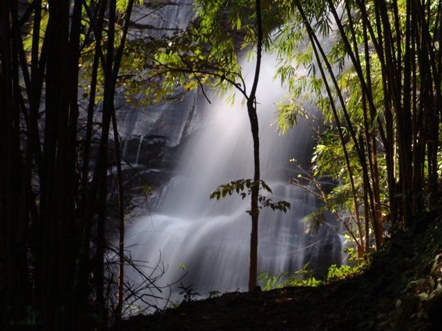
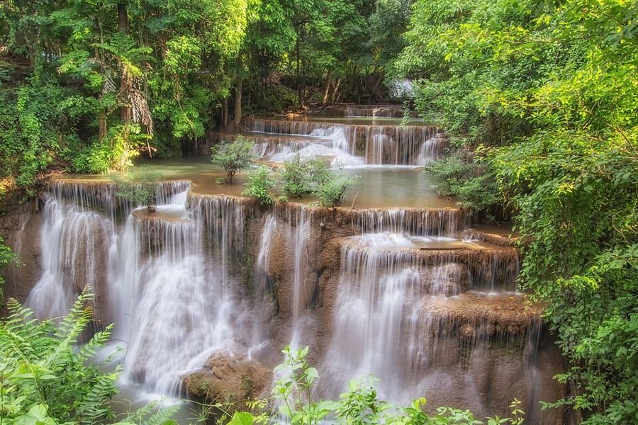
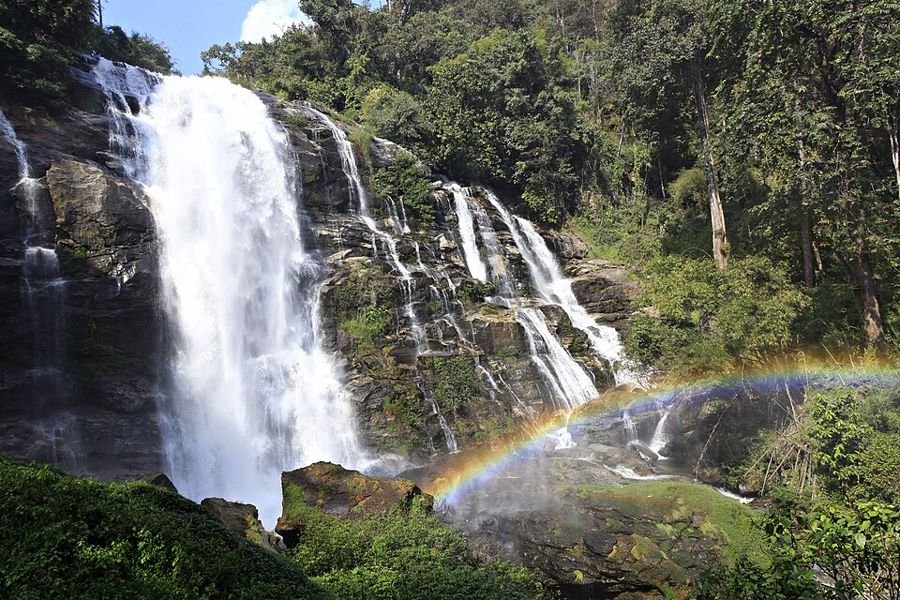
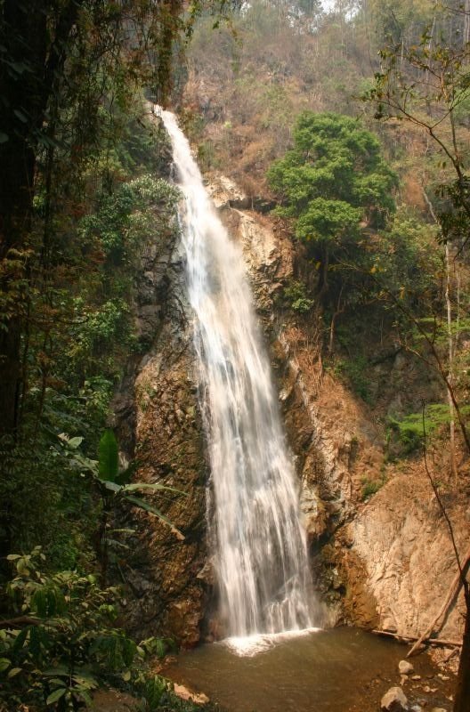
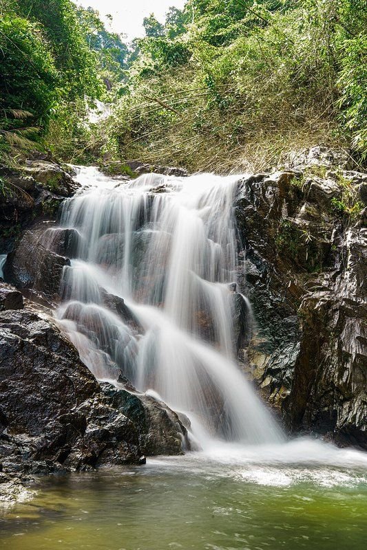
Photo: Drimascus, CC BY-SA 3.0 (cropped)

Nature in Thailand

Thailand has more than 150 national parks, from cool mountains in the north and dry forests in Isan to tropical rainforest and islands in the Andaman Sea and the Gulf of Thailand. This guide covers the 69 finest parks and 44 waterfalls.

Many parks close fully or partly in the rainy season, especially the marine parks (roughly mid-May to mid-October). Turn on Open now to see only places that are open this month.

Map of national parks and waterfalls

Pinch with two fingers to zoom; tap a point for more info.

National parkMarine parkWaterfall

All parks and waterfalls

Phu Hin Rong Kla National Park, Phitsanulok, Loei, Thailand
Photo: Wikimedia Commons, CC BY-SA 3.0
National parkNorth

Phu Hin Rong Kla National Park

อุทยานแห่งชาติภูหินร่องกล้า · Phitsanulok, Loei

⚠️ Note: (partly) closed this month

Mountain park in the Luang Prabang Range near the Laos border. For years it was a base of the communist insurgency, and the old camp buildings can still be seen. Known for grooved rock plateaus and a cool mountain climate.

  • Lan Hin Pum (knobbed rocks)
  • Lan Hin Taek (cracked rocks)
  • Pha Chu Thong (flag cliff)
  • historic insurgent camp
Best time
November-February: dry and cool, best for hiking. Waterfalls are fullest in the rainy season (July-October).
Entrance
200 THB (foreigners), 40 THB (Thai)
indication, check with the park, June 2026
Getting there
By car from Phitsanulok (about 80 km) or Phetchabun.
Hiking
Short walks to the rock fields and the old camp.

Where to stay

Thung Salaeng Luang National Park, Phitsanulok, Phetchabun, Thailand
Photo: Wikimedia Commons, CC BY-SA 3.0
National parkNorth

Thung Salaeng Luang National Park

อุทยานแห่งชาติทุ่งแสลงหลวง · Phitsanulok, Phetchabun

⚠️ Note: (partly) closed this month

Large park of open savanna grassland ('thung') among pine and deciduous forest, Thailand's third national park (1963). Wildflowers bloom on the grasslands in the rainy season. Several waterfalls lie along the river.

  • Thung Non Son grassland
  • Kaeng Sopha Waterfall
  • Kaeng Song Waterfall
  • wildflowers in the rainy season
Best time
November-February: dry and cool, best for hiking. Waterfalls are fullest in the rainy season (July-October).
Entrance
200 THB (foreigners), 40 THB (Thai)
indication, check with the park, June 2026
Getting there
Along Highway 12 between Phitsanulok and Lom Sak.
Hiking
Nature trails near headquarters and to the grassland.
Waterfalls in this park
Kaeng Sopha Waterfall

Where to stay

Doi Phu Kha National Park, Nan, Thailand
Photo: Takeaway, CC BY-SA 3.0
National parkNorth

Doi Phu Kha National Park

อุทยานแห่งชาติดอยภูคา · Nan

⚠️ Note: (partly) closed this month

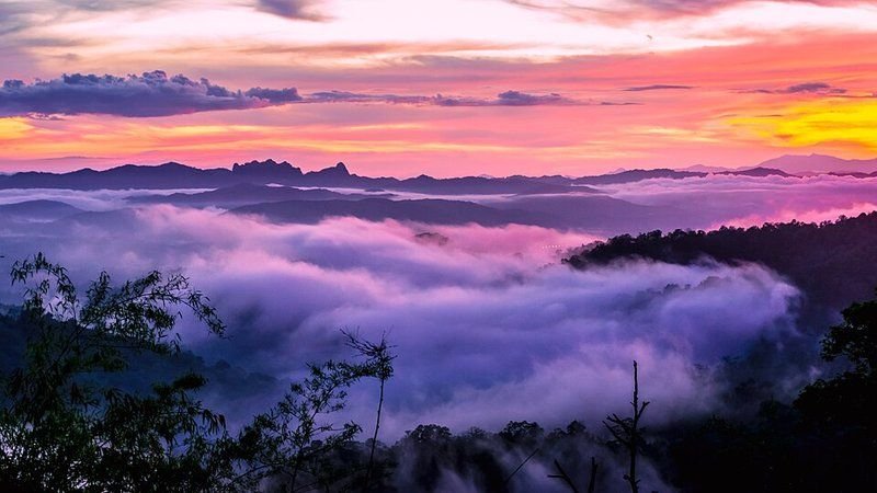
Large mountain area in the Luang Prabang Range in Nan, source of the Nan and Pua rivers. Known for the rare Chomphu Phu Kha tree, which blooms pink around February, and viewpoints over seas of cloud.

  • Chomphu Phu Kha blossom
  • Viewpoint 1715
  • sea of clouds
  • hill villages
Best time
November-February: dry and cool, best for hiking. Waterfalls are fullest in the rainy season (July-October).
Closed
Jun, Jul, Aug, Sep
According to thainationalparks.com the park closes every year from 1 June to 30 September.
Entrance
200 THB (foreigners), 40 THB (Thai)
indication, check with the park, May 2026
Getting there
Via Pua district in Nan, then mountain road 1256.
Hiking
Nature trails and a mountain route to Doi Phu Kha.
Waterfalls in this park
Phu Fa Waterfall

Where to stay

Si Satchanalai National Park, Sukhothai, Thailand
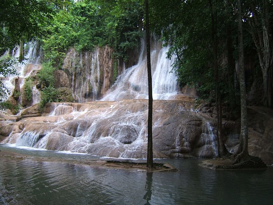
Photo: KaveeH, CC BY-SA 3.0
National parkNorth

Si Satchanalai National Park

อุทยานแห่งชาติศรีสัชนาลัย · Sukhothai

⚠️ Note: (partly) closed this month

Forested hill park in northern Sukhothai, north of the ancient city of Si Satchanalai. It protects forest, waterfalls and caves along the Yom River.

  • waterfalls
  • caves
  • Yom River
Best time
November-February: dry and cool, best for hiking. Waterfalls are fullest in the rainy season (July-October).
Entrance
Unknown, check with the park
Getting there
By car from Si Satchanalai or Sukhothai.

Where to stay

Salawin National Park, Mae Hong Son, Thailand
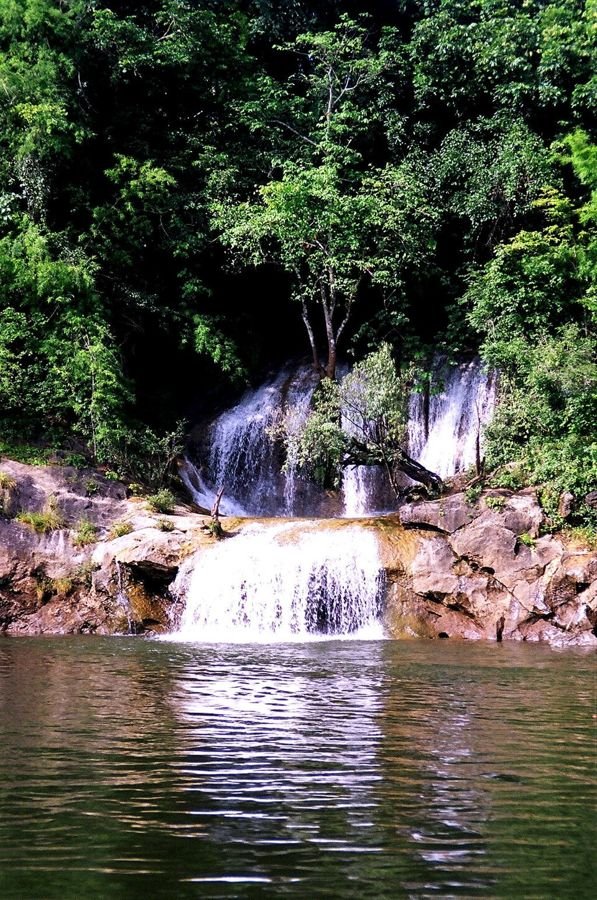
Photo: Takeaway (talk), CC BY-SA 3.0
National parkNorth

Salawin National Park

อุทยานแห่งชาติสาละวิน · Mae Hong Son

⚠️ Note: (partly) closed this month

Remote park along the Salween River on the Myanmar border, in the Dawna Range. It covers much of the Thai stretch of the river. Known for old teak trees and boat trips on the river.

  • Salween River
  • boat trip from Mae Sam Laep
  • giant teak tree
Best time
November-February: dry and cool, best for hiking. Waterfalls are fullest in the rainy season (July-October).
Entrance
Unknown, check with the park
Getting there
Via Mae Sariang, then to Mae Sam Laep on the river.

Where to stay

Doi Inthanon National Park, Chiang Mai, Thailand
Photo: Vyacheslav Argenberg, CC BY 4.0
National parkNorth

Doi Inthanon National Park

อุทยานแห่งชาติดอยอินทนนท์ · Chiang Mai

⚠️ Note: (partly) closed this month

'The roof of Thailand': the park around Doi Inthanon (2,565 m), the country's highest mountain. The summit is cool and misty with cloud forest. On the way up are big waterfalls, the royal chedis and hill villages.

  • Doi Inthanon summit
  • Kew Mae Pan trail
  • Wachirathan and Mae Ya falls
  • royal twin chedis
  • birdwatching
Best time
November-February: dry and cool, best for hiking. Waterfalls are fullest in the rainy season (July-October).
Closed
Jun, Jul, Aug, Sep, Oct
Kew Mae Pan Nature Trail closes every year from June to October (reopens 1 November). The rest of the park stays open.
Entrance
300 THB (foreigners), 60 THB (Thai)
indication, check with the park, June 2022
Getting there
About 1.5-2 hours' drive from Chiang Mai via Chom Thong.
Hiking
Kew Mae Pan (about 3 km, with guide; closed Jun-Oct), Ang Ka boardwalk at the summit.
Waterfalls in this park
Mae Ya Waterfall, Wachirathan Waterfall, Mae Klang Waterfall, Siriphum Waterfall

Where to stay

Doi Suthep–Pui National Park, Chiang Mai, Thailand
Photo: Vyacheslav Argenberg, CC BY 4.0
National parkNorth

Doi Suthep–Pui National Park

อุทยานแห่งชาติดอยสุเทพ-ปุย · Chiang Mai

⚠️ Note: (partly) closed this month

Mountain park right next to Chiang Mai city. It holds the famous temple Wat Phra That Doi Suthep and Bhubing Palace, the royal winter residence. There are waterfalls, forests and a Hmong village on Doi Pui.

  • Wat Phra That Doi Suthep
  • Bhubing Palace
  • Huay Kaew and Mae Sa falls
  • Doi Pui
Best time
November-February: dry and cool, best for hiking. Waterfalls are fullest in the rainy season (July-October).
Entrance
100 THB (foreigners), 20 THB (Thai)
indication, check with the park, June 2026
Getting there
By songthaew or car from Chiang Mai (15-30 min).
Hiking
Monk's Trail (Wat Pha Lat) from the city, trails on Doi Pui.
Waterfalls in this park
Mae Sa Waterfall, Huay Kaew Waterfall

Where to stay

Mae Ping National Park, Lamphun, Chiang Mai, Tak, Thailand
Photo: Beeohwhy, CC BY-SA 4.0
National parkNorth

Mae Ping National Park

อุทยานแห่งชาติแม่ปิง · Lamphun, Chiang Mai, Tak

⚠️ Note: (partly) closed this month

Park west of the Ping River with forested fold mountains. Here the Ping forms the reservoir of the Bhumibol Dam. Wildlife includes goral (mountain goats).

  • Ping River
  • Ko Luang Waterfall
  • Doi Tao Lake
Best time
November-February: dry and cool, best for hiking. Waterfalls are fullest in the rainy season (July-October).
Entrance
Unknown, check with the park
Getting there
Via Li district (Lamphun) by car.

Where to stay

Doi Pha Hom Pok National Park, Chiang Mai, Thailand
Photo: Eartheart123, CC BY-SA 3.0
National parkNorth

Doi Pha Hom Pok National Park

อุทยานแห่งชาติดอยผ้าห่มปก · Chiang Mai

⚠️ Note: (partly) closed this month

Thailand's northernmost national park, on the Myanmar border. It includes Doi Pha Hom Pok, the country's second-highest mountain. Known for the Fang hot springs and the views from Doi Lang.

  • Doi Pha Hom Pok
  • Doi Lang (birds)
  • Fang hot springs
Best time
November-February: dry and cool, best for hiking. Waterfalls are fullest in the rainy season (July-October).
Entrance
Unknown, check with the park
Getting there
Via Fang, about 3 hours' drive from Chiang Mai.
Hiking
Hike to the summit of Doi Pha Hom Pok (usually overnight).

Where to stay

Doi Khun Tan National Park, Lamphun, Lampang, Thailand
Photo: Chit130512, CC BY-SA 3.0
National parkNorth

Doi Khun Tan National Park

อุทยานแห่งชาติดอยขุนตาล · Lamphun, Lampang

⚠️ Note: (partly) closed this month

Mountain park in the Khun Tan Range between Lamphun and Lampang. Its best-known feature is Thailand's longest railway tunnel. You can arrive by train and hike to the summit.

  • Khun Tan railway tunnel
  • Doi Khun Tan summit
  • views
Best time
November-February: dry and cool, best for hiking. Waterfalls are fullest in the rainy season (July-October).
Entrance
Unknown, check with the park
Getting there
By the Bangkok-Chiang Mai train to Khun Tan station.
Hiking
Hike from Khun Tan station to the summit (about 8 km one way).

Where to stay

Namtok Mae Surin National Park, Mae Hong Son, Thailand
Photo: VascoPlanet Thailand Photography, CC BY 3.0
National parkNorth

Namtok Mae Surin National Park

อุทยานแห่งชาติน้ำตกแม่สุรินทร์ · Mae Hong Son

⚠️ Note: (partly) closed this month

Mountain park in Mae Hong Son with caves and waterfalls. It is best known for Mae Surin Waterfall, one of the tallest in Thailand. In November fields of wild sunflowers (Bua Tong) bloom here.

  • Mae Surin Waterfall
  • Bua Tong flower fields (Doi Mae U-Kho)
Best time
November-February: dry and cool, best for hiking. Waterfalls are fullest in the rainy season (July-October).
Entrance
Unknown, check with the park
Getting there
Via Khun Yuam (Mae Hong Son).

Where to stay

Chae Son National Park, Lampang, Thailand
Photo: Mr.Peerapong Prasutr, CC BY-SA 4.0
National parkNorth

Chae Son National Park

อุทยานแห่งชาติแจ้ซ้อน · Lampang

⚠️ Note: (partly) closed this month

Park in Lampang with its namesake waterfall and hot springs. You can bathe in hot spring water and walk to the waterfall.

  • hot springs
  • Chae Son Waterfall
Best time
November-February: dry and cool, best for hiking. Waterfalls are fullest in the rainy season (July-October).
Entrance
200 THB (foreigners), 40 THB (Thai)
indication, check with the park
Getting there
About 70 km north of Lampang via Mueang Pan.
Hiking
Short path from the springs to the waterfall.
Waterfalls in this park
Chae Son Waterfall

Where to stay

Tham Pla–Namtok Pha Suea National Park, Mae Hong Son, Thailand
Photo: User: (WT-shared) Maehongson at wts wikivoyage, Public domain
National parkNorth

Tham Pla–Namtok Pha Suea National Park

อุทยานแห่งชาติถ้ำปลา-น้ำตกผาเสื่อ · Mae Hong Son

⚠️ Note: (partly) closed this month

Park near Mae Hong Son with caves, waterfalls and steep mountains; it became the 116th national park in 2010. The famous Tham Pla (fish cave) is full of large carp. Pha Suea Waterfall lies further into the park.

  • Tham Pla (fish cave)
  • Pha Suea Waterfall
Best time
November-February: dry and cool, best for hiking. Waterfalls are fullest in the rainy season (July-October).
Entrance
Unknown, check with the park
Getting there
About 17 km north of Mae Hong Son on Highway 1095.
Waterfalls in this park
Pha Suea Waterfall

Where to stay

Op Luang National Park, Chiang Mai, Thailand
Photo: Ditsakul, CC BY-SA 3.0
National parkNorth

Op Luang National Park

อุทยานแห่งชาติออบหลวง · Chiang Mai

⚠️ Note: (partly) closed this month

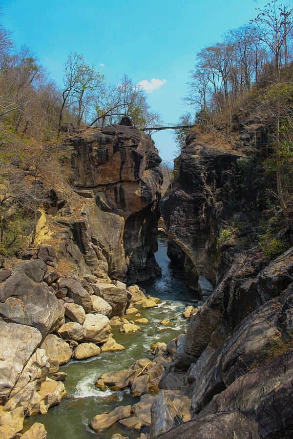
Park in southern Chiang Mai with a narrow river canyon (Op Luang), waterfalls and caves. A bridge over the gorge looks down on the rushing river.

  • Op Luang gorge
  • rock paintings
  • waterfalls
Best time
November-February: dry and cool, best for hiking. Waterfalls are fullest in the rainy season (July-October).
Entrance
Unknown, check with the park
Getting there
On Highway 108 near Hot, about 100 km from Chiang Mai.
Hiking
Nature trail along the gorge.

Where to stay

Huai Nam Dang National Park, Chiang Mai, Mae Hong Son, Thailand
Photo: Khunkay, CC BY-SA 3.0
National parkNorth

Huai Nam Dang National Park

อุทยานแห่งชาติห้วยน้ำดัง · Chiang Mai, Mae Hong Son

⚠️ Note: (partly) closed this month

Mountain park between Chiang Mai and Pai with viewpoints, waterfalls and hot springs. The Kio Lom viewpoint is known for the sea of clouds at sunrise.

  • Kio Lom viewpoint
  • sea of clouds
  • Pong Duet geysers
Best time
November-February: dry and cool, best for hiking. Waterfalls are fullest in the rainy season (July-October).
Entrance
Unknown, check with the park
Getting there
On Highway 1095 (Chiang Mai-Pai).

Where to stay

Khao Yai National Park, Nakhon Ratchasima, Saraburi, Prachin Buri, Nakhon Nayok, Thailand
Photo: Jtri at Dutch Wikipedia, CC BY-SA 3.0
National parkNortheast (Isan)

Khao Yai National Park

อุทยานแห่งชาติเขาใหญ่ · Nakhon Ratchasima, Saraburi, Prachin Buri, Nakhon Nayok

⚠️ Note: (partly) closed this month

Thailand's first national park (1962) and one of its largest. It is a UNESCO World Heritage Site and one of the best places to see wild elephants, gibbons and hornbills. There are big waterfalls and grasslands.

  • wild elephants
  • hornbills and gibbons
  • Haew Suwat Waterfall
  • Pha Diao Dai viewpoint
Best time
November-February: dry and cool, best for hiking. Waterfalls are fullest in the rainy season (July-October).
Closed
Jun, Jul, Aug, Sep
Pha Diao Dai viewpoint closes from 1 June to 30 September (forest recovery). The rest of the park stays open.
Entrance
400 THB (foreigners), 40 THB (Thai)
indication, check with the park, June 2026
Getting there
About 3 hours from Bangkok via Pak Chong.
Hiking
Several marked trails from the visitor centre; longer routes with a guide.
Waterfalls in this park
Haew Suwat Waterfall, Haew Narok Waterfall, Kluai Mai Waterfall

Where to stay

Phu Kradueng National Park, Loei, Thailand
Photo: ผู้สร้างสรรค์ผลงาน/ส่งข้อมูลเก็บในคลังข้อมูลเสรีวิ, CC BY 3.0
National parkNortheast (Isan)

Phu Kradueng National Park

อุทยานแห่งชาติภูกระดึง · Loei

⚠️ Note: (partly) closed this month

Table mountain in Loei with a plateau of about 60 km² at around 1,250 m. You climb up on foot and stay overnight on top. The plateau has sunrise and sunset cliffs, pine forest and waterfalls.

  • Pha Lom Sak cliff
  • sunrise at Pha Nok Aen
  • waterfalls on the plateau
Best time
November-February: dry and cool, best for hiking. Waterfalls are fullest in the rainy season (July-October).
Closed
Jun, Jul, Aug, Sep
The park closes in the rainy season, June to September (forest recovery).
Entrance
200 THB (foreigners), 40 THB (Thai)
indication, check with the park, June 2026
Getting there
Via Phu Kradueng town (Loei); buses from Khon Kaen or Loei.
Hiking
Climb of about 5.5 km to the plateau, then trails across the top.

Where to stay

Khao Phra Wihan National Park, Sisaket, Thailand
Photo: Pawyilee, CC BY-SA 3.0
National parkNortheast (Isan)

Khao Phra Wihan National Park

อุทยานแห่งชาติเขาพระวิหาร · Sisaket

⚠️ Note: (partly) closed this month

Park on the edge of the Dângrêk cliffs at the Cambodian border. It contains ruins from the 11th-century Khmer Empire and the Pha Mo I Daeng viewpoint. Preah Vihear temple itself is in Cambodia.

  • Pha Mo I Daeng
  • Khmer reliefs
  • views over Cambodia
Best time
November-February: dry and cool, best for hiking. Waterfalls are fullest in the rainy season (July-October).
Entrance
Unknown, check with the park
Getting there
About 98 km south of Sisaket at the end of Highway 221.

Where to stay

Mae Wong National Park, Nakhon Sawan, Kamphaeng Phet, Thailand
Photo: Teeradondon, CC BY-SA 3.0
National parkNorth

Mae Wong National Park

อุทยานแห่งชาติแม่วงก์ · Nakhon Sawan, Kamphaeng Phet

⚠️ Note: (partly) closed this month

Rugged mountain park in the Western Forest Complex and one of the best wildlife areas in the west, with tigers and elephants. Known for the multi-day trek to Mokoju, the highest peak.

  • Mokoju peak
  • Chong Yen viewpoint
  • Mae Krasa Waterfall
Best time
November-February: dry and cool, best for hiking. Waterfalls are fullest in the rainy season (July-October).
Entrance
200 THB (foreigners), 40 THB (Thai)
indication, check with the park, June 2026
Getting there
Via Khlong Lan or Mae Wong; own transport needed.
Hiking
Mokoju trek (multi-day, with guide).

Where to stay

Khlong Lan National Park, Kamphaeng Phet, Thailand
Photo: Khunkay, CC BY-SA 3.0
National parkNorth

Khlong Lan National Park

อุทยานแห่งชาติคลองลาน · Kamphaeng Phet

⚠️ Note: (partly) closed this month

Forested park in Kamphaeng Phet, part of the Western Forest Complex. It is best known for the tall Khlong Lan Waterfall.

  • Khlong Lan Waterfall
  • Khlong Nam Lai Waterfall
Best time
November-February: dry and cool, best for hiking. Waterfalls are fullest in the rainy season (July-October).
Entrance
Unknown, check with the park
Getting there
About 65 km south-west of Kamphaeng Phet.
Waterfalls in this park
Khlong Lan Waterfall

Where to stay

Thap Lan National Park, Prachin Buri, Nakhon Ratchasima, Thailand
Photo: Kawpodmd, CC BY-SA 4.0
National parkNortheast (Isan)

Thap Lan National Park

อุทยานแห่งชาติทับลาน · Prachin Buri, Nakhon Ratchasima

⚠️ Note: (partly) closed this month

Thailand's second-largest national park, in the Sankamphaeng Range. It is part of the Dong Phayayen-Khao Yai UNESCO World Heritage Site. Known for its forests of talipot palms (lan).

  • talipot palm forests
  • Lam Phra Phloeng reservoir
  • camping
Best time
November-February: dry and cool, best for hiking. Waterfalls are fullest in the rainy season (July-October).
Entrance
Unknown, check with the park
Getting there
Via Wang Nam Khiao or Na Di; own transport needed.

Where to stay

Kaeng Tana National Park, Ubon Ratchathani, Thailand
Photo: Donjiy, CC BY-SA 3.0
National parkNortheast (Isan)

Kaeng Tana National Park

อุทยานแห่งชาติแก่งตะนะ · Ubon Ratchathani

⚠️ Note: (partly) closed this month

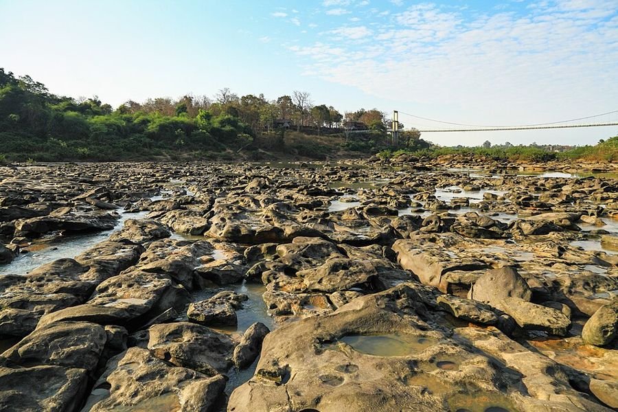
Small park near Khong Chiam on the Mun River, just before it joins the Mekong. Known for the rocky Kaeng Tana rapids and the suspension bridge to an island in the river.

  • Kaeng Tana rapids
  • Mun River
Best time
November-February: dry and cool, best for hiking. Waterfalls are fullest in the rainy season (July-October).
Entrance
Unknown, check with the park
Getting there
Near Khong Chiam, about 80 km from Ubon Ratchathani.

Where to stay

Phu Chong–Na Yoi National Park, Ubon Ratchathani, Thailand
Photo: Khunkay, CC BY-SA 3.0
National parkNortheast (Isan)

Phu Chong–Na Yoi National Park

อุทยานแห่งชาติภูจองนายอย · Ubon Ratchathani

⚠️ Note: (partly) closed this month

Mountain park at the eastern end of the Dângrêk Mountains, where Thailand, Laos and Cambodia meet. Known for its cliffs, grasslands and Huai Luang Waterfall.

  • Huai Luang Waterfall
  • Pha Pheung cliff
  • Lan Dok Mai flower field
Best time
November-February: dry and cool, best for hiking. Waterfalls are fullest in the rainy season (July-October).
Entrance
Unknown, check with the park
Getting there
Via Na Chaluai, about 110 km from Ubon Ratchathani.
Waterfalls in this park
Huai Luang Waterfall

Where to stay

Phu Wiang National Park, Khon Kaen, Thailand
Photo: Wickanet, CC BY 3.0
National parkNortheast (Isan)

Phu Wiang National Park

อุทยานแห่งชาติภูเวียง · Khon Kaen

⚠️ Note: (partly) closed this month

Park in the Phu Wiang Mountains north-west of Khon Kaen, known for its dinosaur fossil finds. You can visit excavation sites and the nearby dinosaur museum.

  • dinosaur excavation sites
  • Phu Wiang Dinosaur Museum
  • waterfalls
Best time
November-February: dry and cool, best for hiking. Waterfalls are fullest in the rainy season (July-October).
Entrance
Unknown, check with the park
Getting there
About 85 km north-west of Khon Kaen.
Hiking
Trail past the excavation sites.

Where to stay

Nam Nao National Park, Phetchabun, Thailand
Photo: The original uploader was Spreesprotte at German W, CC BY-SA 3.0
National parkCentral

Nam Nao National Park

อุทยานแห่งชาติน้ำหนาว · Phetchabun

⚠️ Note: (partly) closed this month

Large forest in Phetchabun with pine woods, grasslands and jungle, home to about 360 bird species. Nights can turn very cold in December and January, hence the name ('cold water').

  • Phu Kum Khao (pine forest)
  • Phu Pha Jit sunrise
  • birds
Best time
November-February: dry and cool, best for hiking. Waterfalls are fullest in the rainy season (July-October).
Entrance
200 THB (foreigners), 40 THB (Thai)
indication, check with the park, June 2026
Getting there
On Highway 12 between Lom Sak and Khon Kaen.

Where to stay

Pha Taem National Park, Ubon Ratchathani, Thailand
Photo: Ddalbiez, CC BY 3.0
National parkNortheast (Isan)

Pha Taem National Park

อุทยานแห่งชาติผาแต้ม · Ubon Ratchathani

⚠️ Note: (partly) closed this month

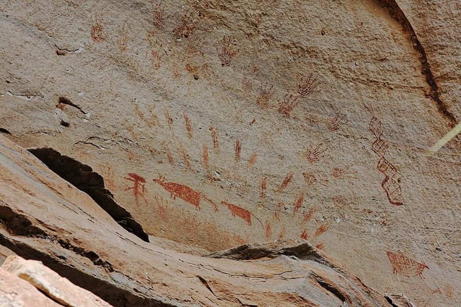
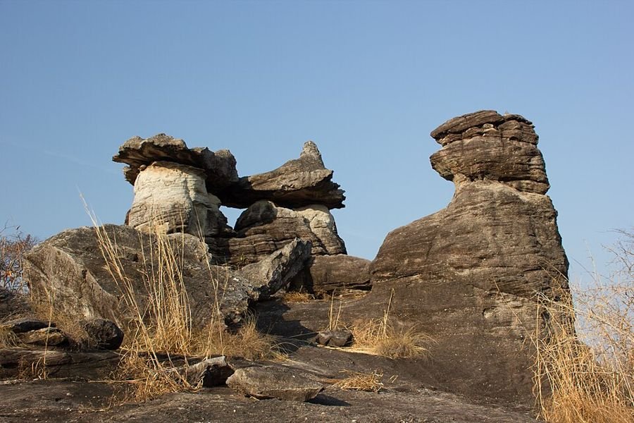
Park on cliffs above the Mekong, facing Laos. The cliff face carries prehistoric paintings about 3,000 years old. It is a classic spot for Thailand's first sunrise, with mushroom-shaped rocks and waterfalls too.

  • rock paintings
  • sunrise over the Mekong
  • Sao Chaliang (mushroom rocks)
  • Soi Sawan Waterfall
Best time
November-February: dry and cool, best for hiking. Waterfalls are fullest in the rainy season (July-October).
Entrance
Unknown, check with the park
Getting there
About 20 km from Khong Chiam.
Hiking
Cliff path past the paintings (about 500 m).
Waterfalls in this park
Soi Sawan Waterfall

Where to stay

Phu Ruea National Park, Loei, Thailand
Photo: Hanumann, CC BY 2.0
National parkNortheast (Isan)

Phu Ruea National Park

อุทยานแห่งชาติภูเรือ · Loei

⚠️ Note: (partly) closed this month

Park around Phu Ruea mountain in Loei, known as one of the coldest places in Thailand. In the cool months it can nearly freeze near the top. There are viewpoints, rock formations and waterfalls.

  • Phu Ruea summit
  • sea of clouds
  • rock gardens
Best time
November-February: dry and cool, best for hiking. Waterfalls are fullest in the rainy season (July-October).
Entrance
Unknown, check with the park
Getting there
On Highway 203, about 50 km west of Loei.

Where to stay

Tat Ton National Park, Chaiyaphum, Thailand
Photo: Yimsurawut, CC BY-SA 3.0
National parkNortheast (Isan)

Tat Ton National Park

อุทยานแห่งชาติตาดโตน · Chaiyaphum

⚠️ Note: (partly) closed this month

Mountain park in the Laen Kha Range near Chaiyaphum. It is best known for the broad Tat Ton Waterfall, a popular spot for swimming and picnics.

  • Tat Ton Waterfall
  • Pha Eang Waterfall
Best time
November-February: dry and cool, best for hiking. Waterfalls are fullest in the rainy season (July-October).
Entrance
Unknown, check with the park
Getting there
About 20 km north of Chaiyaphum.

Where to stay

Phu Pha Thoep National Park, Mukdahan, Thailand
Photo: Markus G. Klötzer, CC BY-SA 4.0
National parkNortheast (Isan)

Phu Pha Thoep National Park

อุทยานแห่งชาติภูผาเทิบ · Mukdahan

⚠️ Note: (partly) closed this month

One of Thailand's smallest national parks, near Mukdahan. Known for strangely shaped mushroom rocks and a cave with ancient hand paintings.

  • mushroom rocks
  • cave with hand paintings
  • views towards the Mekong
Best time
November-February: dry and cool, best for hiking. Waterfalls are fullest in the rainy season (July-October).
Entrance
100 THB (foreigners), 20 THB (Thai)
indication, check with the park, June 2026
Getting there
About 15 km south of Mukdahan.
Hiking
Short loop past the rocks.

Where to stay

Lam Nam Kok National Park, Chiang Rai, Thailand
Photo: Chaiyathat, CC BY-SA 4.0
National parkNorth

Lam Nam Kok National Park

อุทยานแห่งชาติลำน้ำกก · Chiang Rai

⚠️ Note: (partly) closed this month

Park in Chiang Rai around the Kok River, with hot springs, waterfalls and hill villages. The head office is in Doi Hang, not far from the city.

  • Huai Mak Liam hot spring
  • Khun Korn area
  • Kok River
Best time
November-February: dry and cool, best for hiking. Waterfalls are fullest in the rainy season (July-October).
Entrance
Unknown, check with the park
Getting there
By car from Chiang Rai.

Where to stay

Erawan National Park, Kanchanaburi, Thailand
Photo: Nina R from Africa, CC BY 2.0
National parkWest

Erawan National Park

อุทยานแห่งชาติเอราวัณ · Kanchanaburi

⚠️ Note: (partly) closed this month

Park in the Tenasserim Hills of Kanchanaburi, founded in 1975. Famous for the seven-tier Erawan Waterfall with turquoise pools you can swim in.

  • Erawan Waterfall (7 tiers)
  • swimming in turquoise pools
  • Phra That Cave
Best time
November-February: dry and cool, best for hiking. Waterfalls are fullest in the rainy season (July-October).
Entrance
300 THB (foreigners), 60 THB (Thai)
indication, check with the park, June 2026
Getting there
About 65 km from Kanchanaburi; bus 8170 from the bus station.
Hiking
Trail along the 7 tiers (about 2 km, steeper towards the top).
Waterfalls in this park
Erawan Waterfall

Where to stay

Khao Laem Ya–Mu Ko Samet National Park, Rayong, Thailand
Photo: Wanjak Atikomchakorn, CC BY-SA 4.0
Marine parkEast

Khao Laem Ya–Mu Ko Samet National Park

อุทยานแห่งชาติเขาแหลมหญ้า-หมู่เกาะเสม็ด · Rayong

⚠️ Note: (partly) closed this month

Marine park off the coast of Rayong, about 180 km from Bangkok. It covers Ko Samet, nine smaller islands, the Khao Laem Ya headland and Mae Rampeung Beach.

  • Ko Samet beaches
  • Khao Laem Ya viewpoint
  • snorkelling
Best time
November-April (dry season).
Entrance
Unknown, check with the park
Getting there
Ferry from Ban Phe (Rayong).

Where to stay

Kaeng Krachan National Park, Phetchaburi, Prachuap Khiri Khan, Thailand
Photo: JJ Harrison (https://www.jjharrison.com.au/), CC BY-SA 3.0
National parkWest

Kaeng Krachan National Park

อุทยานแห่งชาติแก่งกระจาน · Phetchaburi, Prachuap Khiri Khan

⚠️ Note: (partly) closed this month

Thailand's largest national park, on the Myanmar border and a UNESCO World Heritage Site since 2021. The rainforest is a top area for birds, gibbons and elephants. Up high lies Phanoen Thung with seas of cloud.

  • birdwatching
  • Phanoen Thung cloud sea
  • Pala-U Waterfall
  • Kaeng Krachan reservoir
Best time
November-February: dry and cool, best for hiking. Waterfalls are fullest in the rainy season (July-October).
Closed
Aug, Sep, Oct
Phanoen Thung campsite (the upper area) closes from August to October. Ban Krang and Pala-U stay open.
Entrance
300 THB (foreigners), 60 THB (Thai)
indication, check with the park
Getting there
About 60 km south-west of Phetchaburi; Pala-U via Hua Hin.
Waterfalls in this park
Pala-U Waterfall

Where to stay

Pang Sida National Park, Sa Kaeo, Thailand
Photo: KOSIN SUKHUM, CC BY-SA 4.0
National parkEast

Pang Sida National Park

อุทยานแห่งชาติปางสีดา · Sa Kaeo

⚠️ Note: (partly) closed this month

Park in the Sankamphaeng Range in Sa Kaeo, part of the Dong Phayayen-Khao Yai UNESCO World Heritage Site. Known for its many butterflies in the rainy season and its waterfalls.

  • butterflies
  • Pang Sida Waterfall
  • Pha Takhian Waterfall
Best time
November-February: dry and cool, best for hiking. Waterfalls are fullest in the rainy season (July-October).
Entrance
200 THB (foreigners), 40 THB (Thai)
indication, check with the park, June 2026
Getting there
About 28 km north of Sa Kaeo town.
Waterfalls in this park
Pang Sida Waterfall

Where to stay

Mu Ko Chang National Park, Trat, Thailand
Photo: Toey19863, CC BY-SA 3.0
Marine parkEast

Mu Ko Chang National Park

อุทยานแห่งชาติหมู่เกาะช้าง · Trat

⚠️ Note: (partly) closed this month

Marine park around Ko Chang and some 51 other islands in the Gulf of Thailand. Ko Chang is mountainous and forested, with waterfalls inland. You can snorkel around the smaller islands.

  • Than Mayom and Khlong Plu falls
  • snorkelling around the islands
  • rainforest on Ko Chang
Best time
November-April (dry season).
Entrance
200 THB (foreigners), 40 THB (Thai)
indication, check with the park, June 2026
Getting there
Ferry from Laem Ngop (Trat).
Waterfalls in this park
Than Mayom Waterfall, Khlong Plu Waterfall

Where to stay

Khao Kho National Park, Phetchabun, Thailand
Photo: ::::=UT=::::, CC BY-SA 3.0
National parkCentral

Khao Kho National Park

อุทยานแห่งชาติเขาค้อ · Phetchabun

⚠️ Note: (partly) closed this month

Mountain park in Phetchabun, a national park since 2012. Known for its cool hills, sunrise cloud seas and Than Thip Waterfall. The area was once a battleground with communist insurgents.

  • sea of clouds
  • Than Thip Waterfall
  • Khao Kho memorial
Best time
November-February: dry and cool, best for hiking. Waterfalls are fullest in the rainy season (July-October).
Entrance
100 THB (foreigners), 20 THB (Thai)
indication, check with the park
Getting there
Via Highway 12/2196 from Phetchabun or Lom Sak.

Where to stay

Ta Phraya National Park, Sa Kaeo, Buriram, Thailand
Photo: Ddalbiez, CC BY-SA 3.0
National parkEast

Ta Phraya National Park

อุทยานแห่งชาติตาพระยา · Sa Kaeo, Buriram

⚠️ Note: (partly) closed this month

Park at the eastern end of the Sankamphaeng Range near the Cambodian border, part of the Dong Phayayen-Khao Yai UNESCO World Heritage Site. It contains Khmer ruins such as Prasat Khao Lon.

  • Prasat Khao Lon
  • butterflies
  • forest
Best time
November-February: dry and cool, best for hiking. Waterfalls are fullest in the rainy season (July-October).
Entrance
Unknown, check with the park
Getting there
Via Ta Phraya town (Sa Kaeo).

Where to stay

Sai Yok National Park, Kanchanaburi, Thailand
Photo: Ananda, Public domain
National parkWest

Sai Yok National Park

อุทยานแห่งชาติไทรโยค · Kanchanaburi

⚠️ Note: (partly) closed this month

Park on the Khwae Noi River in the Western Forest Complex, with mountains, waterfalls and caves. Sai Yok Yai Waterfall drops straight into the river. Scenes of the film The Deer Hunter were shot here.

  • Sai Yok Yai Waterfall
  • raft restaurants
  • Lawa Cave
  • bat cave (bumblebee bat)
Best time
November-February: dry and cool, best for hiking. Waterfalls are fullest in the rainy season (July-October).
Entrance
300 THB (foreigners), 60 THB (Thai)
indication, check with the park
Getting there
On Highway 323, about 100 km from Kanchanaburi.
Waterfalls in this park
Sai Yok Yai Waterfall

Where to stay

Khuean Srinagarindra National Park, Kanchanaburi, Thailand
Photo: Lerdsuwa, CC BY-SA 3.0
National parkWest

Khuean Srinagarindra National Park

อุทยานแห่งชาติเขื่อนศรีนครินทร์ · Kanchanaburi

⚠️ Note: (partly) closed this month

Large park around the Srinagarind Dam reservoir in the Western Forest Complex. Known for the seven-tier Huai Mae Khamin Waterfall and lakeside camping.

  • Huai Mae Khamin Waterfall
  • Srinagarind reservoir
  • lakeside camping
Best time
November-February: dry and cool, best for hiking. Waterfalls are fullest in the rainy season (July-October).
Entrance
300 THB (foreigners), 60 THB (Thai)
indication, check with the park, June 2026
Getting there
Via Si Sawat; own transport or boat across the lake.
Waterfalls in this park
Huai Mae Khamin Waterfall

Where to stay

Thong Pha Phum National Park, Kanchanaburi, Thailand
Photo: Khunkay, CC BY-SA 3.0
National parkWest

Thong Pha Phum National Park

อุทยานแห่งชาติทองผาภูมิ · Kanchanaburi

⚠️ Note: (partly) closed this month

Border park with Myanmar in the Western Forest Complex. Known for the mountains around the mining village of Pilok, with sea-of-cloud views at Noen Chang Suek.

  • Pilok (old mining village)
  • Noen Chang Suek viewpoint
  • Jokkradin Waterfall
Best time
November-February: dry and cool, best for hiking. Waterfalls are fullest in the rainy season (July-October).
Entrance
Unknown, check with the park
Getting there
Via Thong Pha Phum, then the mountain road to Pilok.

Where to stay

Khao Khitchakut National Park, Chanthaburi, Thailand
Photo: Martin Püschel, CC BY-SA 3.0
National parkEast

Khao Khitchakut National Park

อุทยานแห่งชาติเขาคิชฌกูฏ · Chanthaburi

⚠️ Note: (partly) closed this month

Park in the Soi Dao mountains near Chanthaburi with waterfalls and forest. A revered Buddha footprint sits on the summit of Khao Khitchakut; it opens only during the pilgrimage season (around Jan-Mar).

  • Buddha footprint pilgrimage
  • Krathing Waterfall
Best time
November-February: dry and cool, best for hiking. Waterfalls are fullest in the rainy season (July-October).
Entrance
200 THB (foreigners), 40 THB (Thai)
indication, check with the park, June 2026
Getting there
About 30 km north of Chanthaburi.
Waterfalls in this park
Krathing Waterfall

Where to stay

Namtok Phlio National Park, Chanthaburi, Thailand
Photo: KAlexey, CC BY-SA 3.0
National parkEast

Namtok Phlio National Park

อุทยานแห่งชาติน้ำตกพลิ้ว · Chanthaburi

⚠️ Note: (partly) closed this month

Park near Chanthaburi with forested hills and the famous Phlio Waterfall, whose pool is full of large carp. Near the falls stand a stupa and chedi from the reign of King Rama V.

  • Phlio Waterfall
  • carp
  • Rama V chedi
Best time
November-February: dry and cool, best for hiking. Waterfalls are fullest in the rainy season (July-October).
Entrance
Unknown, check with the park
Getting there
About 15 km south-east of Chanthaburi on Highway 3.
Hiking
Short nature loop around the falls.
Waterfalls in this park
Phlio Waterfall

Where to stay

Tat Mok National Park, Phetchabun, Thailand
Photo: เบนนี่, CC BY-SA 3.0
National parkCentral

Tat Mok National Park

อุทยานแห่งชาติตาดหมอก · Phetchabun

⚠️ Note: (partly) closed this month

Park in Phetchabun, the 87th national park (1998). It is named after the Tat Mok mountains and the tiered waterfall of the same name.

  • Tat Mok Waterfall
  • forest
Best time
November-February: dry and cool, best for hiking. Waterfalls are fullest in the rainy season (July-October).
Entrance
100 THB (foreigners), 20 THB (Thai)
indication, check with the park, June 2026
Getting there
About 30 km east of Phetchabun.

Where to stay

Khao Chamao–Khao Wong National Park, Rayong, Thailand
Photo: Yoshifumi Iwata, CC BY-SA 4.0
National parkEast

Khao Chamao–Khao Wong National Park

อุทยานแห่งชาติเขาชะเมา-เขาวง · Rayong

⚠️ Note: (partly) closed this month

Small park of forested mountains in Rayong. Known for Khao Chamao Waterfall with fish-filled pools and limestone caves at Khao Wong.

  • Khao Chamao Waterfall
  • Khao Wong caves
Best time
November-February: dry and cool, best for hiking. Waterfalls are fullest in the rainy season (July-October).
Entrance
200 THB (foreigners), 40 THB (Thai)
indication, check with the park, June 2026
Getting there
About 70 km north-east of Rayong city.

Where to stay

Namtok Chet Sao Noi National Park, Saraburi, Nakhon Ratchasima, Thailand
Photo: Jakkeeman, CC BY-SA 4.0
National parkCentral

Namtok Chet Sao Noi National Park

อุทยานแห่งชาติน้ำตกเจ็ดสาวน้อย · Saraburi, Nakhon Ratchasima

⚠️ Note: (partly) closed this month

Small park near Muak Lek, a national park since 2016. It centres on Chet Sao Noi Waterfall: a series of low cascades and pools in a stream, popular for swimming.

  • Chet Sao Noi cascades
  • swimming
Best time
November-February: dry and cool, best for hiking. Waterfalls are fullest in the rainy season (July-October).
Entrance
100 THB (foreigners), 20 THB (Thai)
indication, check with the park, May 2026
Getting there
Off Highway 2 (Mittraphap), about 2 hours from Bangkok.

Where to stay

Khao Sam Roi Yot National Park, Prachuap Khiri Khan, Thailand
Photo: Jérémy Toma, CC BY-SA 4.0
National parkWest

Khao Sam Roi Yot National Park

อุทยานแห่งชาติเขาสามร้อยยอด · Prachuap Khiri Khan

⚠️ Note: (partly) closed this month

Coastal park of limestone peaks ('300 peaks'), marshes and beaches. Famous for Phraya Nakhon Cave with a pavilion in a shaft of sunlight. The marshes are good for waterbirds.

  • Phraya Nakhon Cave
  • Khao Daeng viewpoint
  • marshes (birds)
Best time
November-February: dry and cool, best for hiking. Waterfalls are fullest in the rainy season (July-October).
Entrance
200 THB (foreigners), 40 THB (Thai)
indication, check with the park, June 2022
Getting there
About 40 km south of Pran Buri/Hua Hin.
Hiking
Path over the hill from Laem Sala beach to the cave (about 430 m, steep).

Where to stay

Mu Ko Surin National Park, Phang Nga, Thailand
Photo: User:Manop, CC BY 2.5
Marine parkSouth – Andaman Sea

Mu Ko Surin National Park

หมู่เกาะสุรินทร์ · Phang Nga

⚠️ Note: (partly) closed this month

Five islands in the Andaman Sea, about 55 km offshore. A community of Moken sea nomads lives here. The water is clear, with coral reefs for snorkelling.

  • Moken village
  • snorkelling
  • beach camping
Best time
November-April (dry season on the Andaman coast).
Closed
May, Jun, Jul, Aug, Sep, Oct
Open 15 October to 15 May; closed 16 May to 14 October. Dates can vary by year.
Entrance
500 THB (foreigners), 100 THB (Thai)
indication, check with the park
Getting there
Speedboat from Khura Buri.

Where to stay

Mu Ko Phetra National Park, Satun, Trang, Thailand
Photo: Lerdsuwa, CC BY-SA 3.0
Marine parkSouth – Andaman Sea

Mu Ko Phetra National Park

อุทยานแห่งชาติหมู่เกาะเภตรา · Satun, Trang

⚠️ Note: (partly) closed this month

Marine park in the Strait of Malacca with about 30 islands off Trang and Satun. Nearly 95 percent is open water. Ko Lidi has a suspension bridge.

  • Ko Lidi
  • Ko Khao Yai (rock arch)
  • coral
Best time
November-April (dry season on the Andaman coast).
Entrance
Unknown, check with the park
Getting there
From Pak Bara (Satun).

Where to stay

Mu Ko Similan National Park, Phang Nga, Thailand
Photo: Mathias Krumbholz, CC BY-SA 3.0
Marine parkSouth – Andaman Sea

Mu Ko Similan National Park

หมู่เกาะสิมิลัน · Phang Nga

⚠️ Note: (partly) closed this month

Island group in the Andaman Sea, a marine park since 1982. Known for white sand, granite boulders and some of Thailand's best diving and snorkelling. Daily visitor numbers are capped.

  • diving and snorkelling
  • Sail Rock on Ko Similan
  • Donald Duck Bay
Best time
November-April (dry season on the Andaman coast).
Closed
May, Jun, Jul, Aug, Sep, Oct
Open 15 October to 15 May; closed during the south-west monsoon (mid-May to mid-October), sometimes earlier.
Entrance
500 THB (foreigners), 100 THB (Thai)
indication, check with the park
Getting there
Speedboat from Thap Lamu (Khao Lak).

Where to stay

Tarutao National Park, Satun, Thailand
Photo: Vyacheslav Argenberg, CC BY 4.0
Marine parkSouth – Andaman Sea

Tarutao National Park

อุทยานแห่งชาติตะรุเตา · Satun

⚠️ Note: (partly) closed this month

51 islands in the Strait of Malacca, split into the Tarutao and Adang-Rawi groups. Ko Tarutao has jungle, mangroves and a past as a prison island. Around Ko Adang and Ko Lipe you can snorkel on coral.

  • Ko Tarutao (prison history)
  • Ko Adang
  • snorkelling
Best time
November-April (dry season on the Andaman coast).
Closed
Jun, Jul, Aug, Sep, Oct, Nov, Dec
Ko Tarutao itself is open all year. Most other sites close from 1 June to 30 September; Ko Adang stays closed until 31 December.
Entrance
200 THB (foreigners), 40 THB (Thai)
indication, check with the park, June 2026
Getting there
Ferry from Pak Bara (Satun).

Where to stay

Mu Ko Lanta National Park, Krabi, Thailand
Photo: Varakorn Kuldilok, CC BY-SA 3.0
Marine parkSouth – Andaman Sea

Mu Ko Lanta National Park

อุทยานแห่งชาติหมู่เกาะลันตา · Krabi

⚠️ Note: (partly) closed this month

Marine park in southern Krabi around the Ko Lanta islands. The headquarters is at the lighthouse on the southern tip of Ko Lanta Yai. Chao Leh sea nomads live in the area.

  • Ko Lanta lighthouse
  • Ko Rok
  • Ko Ha
Best time
November-April (dry season on the Andaman coast).
Closed
Jun, Jul, Aug, Sep
The twin islands (Ko Rok) close from 1 June to 30 September.
Entrance
200 THB (foreigners), 40 THB (Thai)
indication, check with the park, June 2026
Getting there
Ferry to Ko Lanta, then to the southern tip.
Hiking
Short nature trail at headquarters.

Where to stay

Ao Phang Nga National Park, Phang Nga, Thailand
Photo: Diego Delso, CC BY-SA 3.0
Marine parkSouth – Andaman Sea

Ao Phang Nga National Park

อุทยานแห่งชาติอ่าวพังงา · Phang Nga

⚠️ Note: (partly) closed this month

Bay full of sheer limestone islands in the Andaman Sea. The best-known is Khao Phing Kan, famous as 'James Bond Island'. You explore by longtail or canoe through caves and mangroves.

  • James Bond Island (Ko Tapu)
  • sea-cave canoeing
  • Ko Panyi stilt village
Best time
November-April (dry season on the Andaman coast).
Entrance
300 THB (foreigners), 60 THB (Thai)
indication, check with the park, June 2022
Getting there
Boat trips from Phang Nga, Phuket or Krabi.

Where to stay

Kui Buri National Park, Prachuap Khiri Khan, Thailand
Photo: Khajonrat.K, CC BY-SA 4.0
National parkWest

Kui Buri National Park

อุทยานแห่งชาติกุยบุรี · Prachuap Khiri Khan

⚠️ Note: (partly) closed this month

Park in the Tenasserim Hills, the 90th national park (1999). Known for wild elephants and gaur seen on its grasslands during ranger-led safaris.

  • wild elephants
  • gaur
  • ranger-led safari
Best time
November-February: dry and cool, best for hiking. Waterfalls are fullest in the rainy season (July-October).
Entrance
200 THB (foreigners), 40 THB (Thai)
indication, check with the park, June 2026
Getting there
About 60 km south of Hua Hin.

Where to stay

Hat Noppharat Thara–Mu Ko Phi Phi National Park, Krabi, Thailand
Photo: Toey19863, CC BY-SA 3.0
Marine parkSouth – Andaman Sea

Hat Noppharat Thara–Mu Ko Phi Phi National Park

อุทยานแห่งชาติหาดนพรัตน์ธารา-หมู่เกาะพีพี · Krabi

⚠️ Note: (partly) closed this month

Marine park with Hat Noppharat Thara beach near Ao Nang and the Phi Phi Islands. Known for coral reefs, limestone cliffs and Maya Bay.

  • Maya Bay
  • Phi Phi Leh
  • Hat Noppharat Thara
  • snorkelling
Best time
November-April (dry season on the Andaman coast).
Closed
Aug, Sep
Maya Bay closes every year from 1 August to 30 September.
Entrance
200 THB (foreigners), 40 THB (Thai)
indication, check with the park, June 2026
Getting there
Boat from Krabi, Ao Nang or Phuket.

Where to stay

Hat Chao Mai National Park, Trang, Thailand
Photo: Khunkay, CC BY-SA 3.0
Marine parkSouth – Andaman Sea

Hat Chao Mai National Park

อุทยานแห่งชาติหาดเจ้าไหม · Trang

⚠️ Note: (partly) closed this month

Coastal park in Trang with beaches, mangroves, islands and seagrass beds. It is a Ramsar site and one of the last homes of the dugong.

  • dugongs (seagrass)
  • Ko Muk and Emerald Cave
  • Ko Kradan
  • mangroves
Best time
November-April (dry season on the Andaman coast).
Entrance
Unknown, check with the park
Getting there
About 45 km from Trang; boats from Pak Meng.

Where to stay

Khao Phanom Bencha National Park, Krabi, Thailand
Photo: Caitriana Nicholson from 北京 ~ Beijing, 中国 ~ China, CC BY-SA 2.0
National parkSouth – Andaman Sea

Khao Phanom Bencha National Park

อุทยานแห่งชาติเขาพนมเบญจา · Krabi

⚠️ Note: (partly) closed this month

Park around Khao Phanom Bencha (1,397 m) near Krabi, protecting virgin rainforest and rare wildlife. Waterfalls include Huai To.

  • Huai To Waterfall
  • Khao Phanom Bencha summit
  • birds
Best time
November-February: dry and cool, best for hiking. Waterfalls are fullest in the rainy season (July-October).
Entrance
100 THB (foreigners), 20 THB (Thai)
indication, check with the park, June 2026
Getting there
About 20 km north of Krabi town.
Hiking
Summit trek up Khao Phanom Bencha (multi-day, with guide).
Waterfalls in this park
Huai To Waterfall

Where to stay

Chaloem Rattanakosin National Park, Kanchanaburi, Thailand
Photo: Apijate Rungwijitsin, CC BY-SA 4.0
National parkWest

Chaloem Rattanakosin National Park

อุทยานแห่งชาติเฉลิมรัตนโกสินทร์ · Kanchanaburi

⚠️ Note: (partly) closed this month

Kanchanaburi's smallest park, also called Tham Than Lot. A stream runs through caves, and a forest trail with waterfalls links Tham Than Lot Noi and Tham Than Lot Yai caves.

  • Tham Than Lot Noi
  • Tham Than Lot Yai
  • waterfalls along the trail
Best time
November-February: dry and cool, best for hiking. Waterfalls are fullest in the rainy season (July-October).
Entrance
Unknown, check with the park
Getting there
About 97 km north of Kanchanaburi via Nong Prue.
Hiking
Trail between the two caves (about 2.5 km).

Where to stay

Sirinat National Park, Phuket, Thailand
Photo: Andy Mitchell from Glasgow, UK, CC BY-SA 2.0
Marine parkSouth – Andaman Sea

Sirinat National Park

อุทยานแห่งชาติสิรินาถ · Phuket

⚠️ Note: (partly) closed this month

Park on the north-west coast of Phuket with beaches, sea and mangroves. Sea turtles sometimes nest at Nai Yang. The park is right by the airport.

  • Nai Yang Beach
  • Mai Khao Beach
  • mangrove boardwalk
Best time
November-April (dry season on the Andaman coast).
Entrance
200 THB (foreigners), 40 THB (Thai)
indication, check with the park, June 2026
Getting there
Next to Phuket International Airport.

Where to stay

Taksin Maharat National Park, Tak, Thailand
Photo: Aniwat.l, CC BY-SA 4.0
National parkWest

Taksin Maharat National Park

อุทยานแห่งชาติตากสินมหาราช · Tak

⚠️ Note: (partly) closed this month

Park in the Thanon Thong Chai Range near Tak. It has one of Thailand's largest trees (a giant krabak) plus waterfalls, caves and rock formations.

  • giant krabak tree
  • Pang A Noi Waterfall
  • Mae Ya Pa Waterfall
Best time
November-February: dry and cool, best for hiking. Waterfalls are fullest in the rainy season (July-October).
Entrance
Unknown, check with the park
Getting there
On Highway 12 between Tak and Mae Sot.

Where to stay

Than Bok Khorani National Park, Krabi, Thailand
Photo: Vyacheslav Argenberg, CC BY 4.0
Marine parkSouth – Andaman Sea

Than Bok Khorani National Park

อุทยานแห่งชาติธารโบกขรณี · Krabi

⚠️ Note: (partly) closed this month

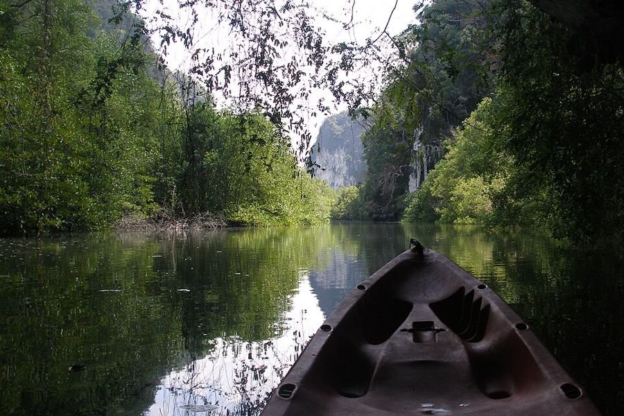
Marine park near Ao Luek in Krabi with islands, caves, rock formations and tropical forest. Known for its emerald pools in the forest and canoe trips through mangroves and caves.

  • emerald pools
  • Tham Lot (canoeing)
  • Ko Hong
Best time
November-April (dry season on the Andaman coast).
Entrance
Unknown, check with the park
Getting there
Near Ao Luek, about 45 km from Krabi town.

Where to stay

Khao Sok National Park, Surat Thani, Thailand
Photo: Vyacheslav Argenberg, CC BY 4.0
National parkSouth – Gulf of Thailand

Khao Sok National Park

อุทยานแห่งชาติเขาสก · Surat Thani

⚠️ Note: (partly) closed this month

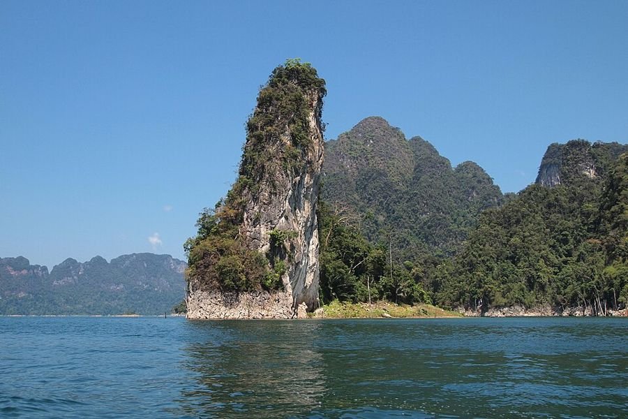
The largest area of virgin forest in southern Thailand, older than the Amazon rainforest. It includes Cheow Lan Lake with limestone karsts and floating bungalows. The Rafflesia, one of the world's largest flowers, grows here.

  • Cheow Lan Lake
  • floating bungalows
  • jungle treks
  • Rafflesia
Best time
November-February: dry and cool, best for hiking. Waterfalls are fullest in the rainy season (July-October).
Entrance
200 THB (foreigners)
indication, check with the park, June 2026
Getting there
On Highway 401 between Surat Thani and Takua Pa.
Hiking
Trails from headquarters along the river to waterfalls.

Where to stay

Mu Ko Ang Thong National Park, Surat Thani, Thailand
Photo: Vyacheslav Argenberg, CC BY 4.0
Marine parkSouth – Gulf of Thailand

Mu Ko Ang Thong National Park

อุทยานแห่งชาติหมู่เกาะอ่างทอง · Surat Thani

⚠️ Note: (partly) closed this month

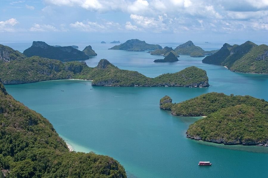
Marine park of 42 islands in the Gulf of Thailand, west of Ko Samui. Known for the green saltwater lake on Ko Mae Ko and viewpoints over the islands.

  • Thale Nai (inner lake)
  • Ko Wua Talap viewpoint
  • kayaking
Best time
February-September; November-December is wettest on the Gulf coast.
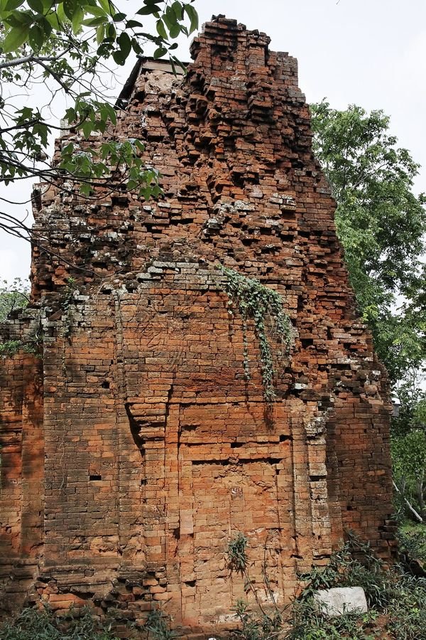
Closed
Nov, Dec
Usually closed from 1 November to 15 December, depending on monsoon weather.
Entrance
300 THB (foreigners), 40 THB (Thai)
indication, check with the park, May 2026
Getting there
Day trips by boat from Ko Samui.

Where to stay

Hat Khanom–Mu Ko Thale Tai National Park, Nakhon Si Thammarat, Surat Thani, Thailand
Photo: KOSIN SUKHUM, CC BY-SA 4.0
Marine parkSouth – Gulf of Thailand

Hat Khanom–Mu Ko Thale Tai National Park

อุทยานแห่งชาติหาดขนอม-หมู่เกาะทะเลใต้ · Nakhon Si Thammarat, Surat Thani

⚠️ Note: (partly) closed this month

Coast and islands near Khanom and Sichon, with beaches and islands as far as Ko Samui. Known for the pink dolphins seen from the shore.

  • pink dolphins
  • Khanom beaches
Best time
February-September; November-December is wettest on the Gulf coast.
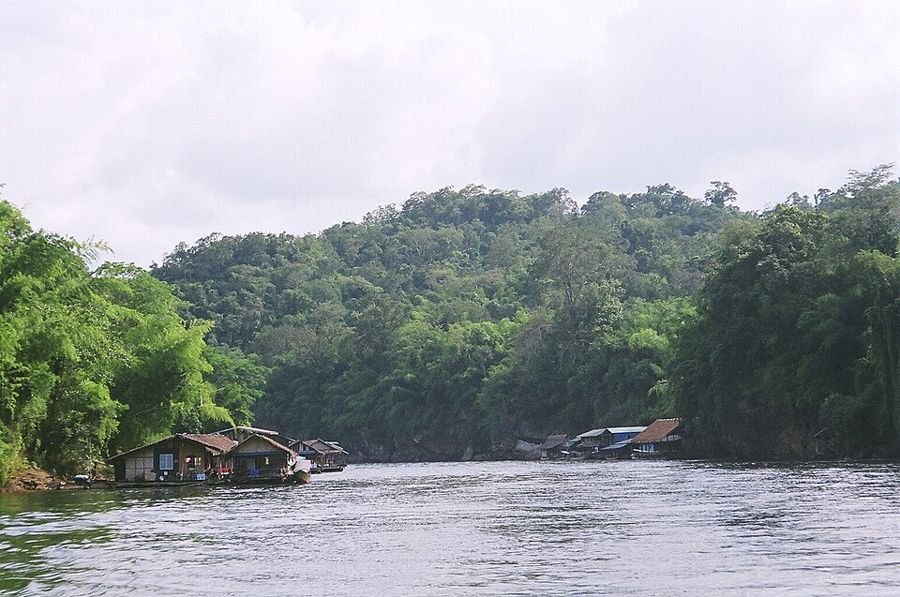
Entrance
Unknown, check with the park
Getting there
Via Khanom (Nakhon Si Thammarat).

Where to stay

Khao Luang National Park, Nakhon Si Thammarat, Thailand
Photo: This Photo was taken by Adirach Toumlamoon. Feel , CC BY-SA 4.0
National parkSouth – Gulf of Thailand

Khao Luang National Park

ยอดเขาหลวง · Nakhon Si Thammarat

⚠️ Note: (partly) closed this month

Park around Khao Luang, the highest mountain in southern Thailand. Rain from both monsoons makes the forest very wet. It has big waterfalls such as Karom, Phrom Lok and Krung Ching.
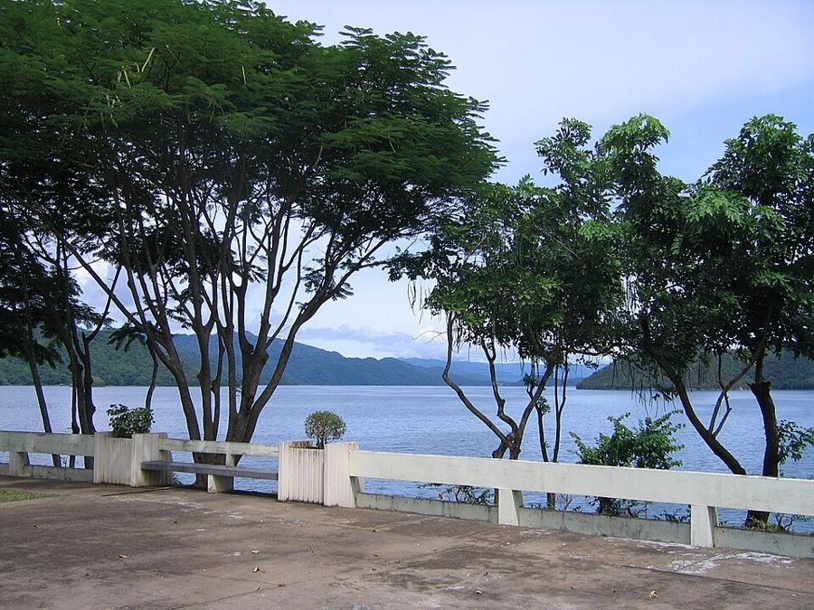
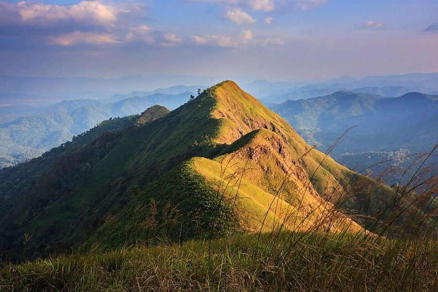
  • Krung Ching Waterfall
  • Phrom Lok Waterfall
  • Karom Waterfall
  • Khiriwong village
Best time
November-February: dry and cool, best for hiking. Waterfalls are fullest in the rainy season (July-October).
Closed
Oct, Nov, Dec
The park closes every year from 1 October to 15 December.
Entrance
200 THB (foreigners), 40 THB (Thai)
indication, check with the park, June 2026
Getting there
By car from Nakhon Si Thammarat.
Hiking
Krung Ching trail (about 4 km one way).
Waterfalls in this park
Phrom Lok Waterfall, Krung Ching Waterfall

Where to stay

Than Sadet–Ko Pha-ngan National Park, Surat Thani, Thailand
Photo: Gerono, CC BY-SA 3.0
National parkSouth – Gulf of Thailand

Than Sadet–Ko Pha-ngan National Park

อุทยานแห่งชาติธารเสด็จ-เกาะพะงัน · Surat Thani

⚠️ Note: (partly) closed this month

Park on Ko Pha-ngan, a national park since 2018. It is named after King Rama V's visit to Than Sadet Waterfall in 1888. It protects waterfalls and forest on the island.

  • Than Sadet Waterfall
  • Phaeng Waterfall
  • viewpoints
Best time
November-February: dry and cool, best for hiking. Waterfalls are fullest in the rainy season (July-October).
Entrance
Unknown, check with the park
Getting there
Ferry to Ko Pha-ngan.
Waterfalls in this park
Than Sadet Waterfall

Where to stay

อุทยานแห่งชาติบูโด-สุไหงปาดีNo photo yet
National parkSouth – Gulf of Thailand

Budo–Su-ngai Padi National Park

อุทยานแห่งชาติบูโด-สุไหงปาดี · Narathiwat, Yala, Pattani

⚠️ Note: (partly) closed this month

Rainforest park in the deep south, in the Sankala Khiri mountains. The forest has many palms and rare hornbills.

  • hornbills
  • Pa Cho Waterfall
  • bang palms
Best time
November-February: dry and cool, best for hiking. Waterfalls are fullest in the rainy season (July-October).
Entrance
Unknown, check with the park
Getting there
From Narathiwat. Check travel advice for the deep south.
Waterfalls in this park
Chat Warin Waterfall

Where to stay

Laem Son National Park, Ranong, Phang Nga, Thailand
Photo: Kumpol 01, CC BY-SA 3.0
Marine parkSouth – Andaman Sea

Laem Son National Park

อุทยานแห่งชาติแหลมสน · Ranong, Phang Nga

⚠️ Note: (partly) closed this month

Coastal park about 60 km south of Ranong with 100 km of shoreline, Thailand's longest protected coast. It is named after the casuarina trees ('son') along the beach.
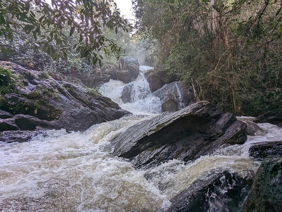
  • Hat Bang Ben
  • Ko Kam islands
  • mangroves
Best time
November-April (dry season on the Andaman coast).
Entrance
Unknown, check with the park
Getting there
Via Kapoe, about 60 km south of Ranong.

Where to stay

Khao Lak–Lam Ru National Park, Phang Nga, Thailand
Photo: Vyacheslav Argenberg, CC BY 4.0
National parkSouth – Andaman Sea

Khao Lak–Lam Ru National Park

อุทยานแห่งชาติเขาหลัก-ลำรู่ · Phang Nga

⚠️ Note: (partly) closed this month

Park named after the Khao Lak and Lam Ru peaks, with beaches and rainforest on the Phang Nga coast. Trails lead to quiet beaches and waterfalls.
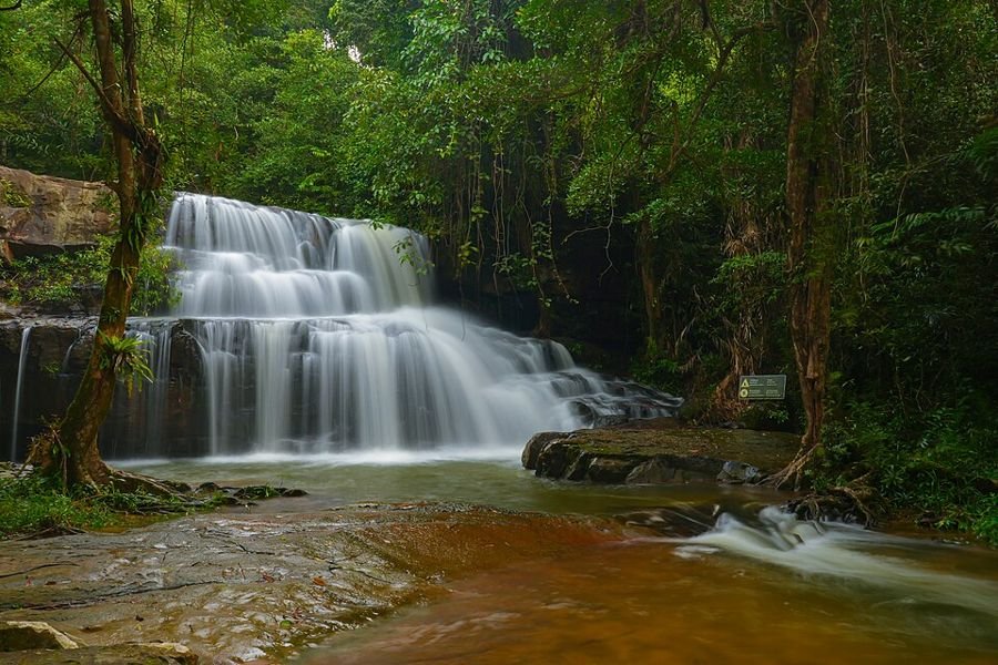
  • Hat Lek beach
  • Lam Ru Waterfall
Best time
November-February: dry and cool, best for hiking. Waterfalls are fullest in the rainy season (July-October).
Entrance
100 THB (foreigners), 20 THB (Thai)
indication, check with the park, June 2026
Getting there
On Highway 4, just south of Khao Lak.
Hiking
Coastal trail from headquarters to Hat Lek (about 1.5 km).

Where to stay

Mu Ko Chumphon National Park, Chumphon, Thailand
Photo: Payungsakpk, CC BY-SA 3.0
Marine parkSouth – Gulf of Thailand

Mu Ko Chumphon National Park

อุทยานแห่งชาติหมู่เกาะชุมพร · Chumphon

⚠️ Note: (partly) closed this month

Islands and coast off Chumphon in the Gulf of Thailand, formerly called Had Sai Ree. It has coral reefs and a mangrove boardwalk.

  • mangrove boardwalk
  • Ko Ngam Yai
  • diving
Best time
February-September; November-December is wettest on the Gulf coast.
Entrance
Unknown, check with the park
Getting there
From Chumphon town to the coast.
Where to stay

Erawan Waterfall, Kanchanaburi, Thailand
Photo: The original uploader was Drimascus at German Wiki, CC BY-SA 3.0
WaterfallWest

Erawan Waterfall

น้ำตกเอราวัณ · Kanchanaburi

⚠️ Note: (partly) closed this month

West Thailand's most famous waterfall, with seven tiers and emerald pools you can swim in. It is named after Erawan, the three-headed elephant of mythology.

  • swimming in the pools
  • 7 tiers
Best time
July-November for the most water; December-February for clearer water and pleasant weather.
Height
7 tiers
Located in
Erawan National Park
Getting there
Bus 8170 from Kanchanaburi (about 65 km).
Thi Lo Su Waterfall, Tak, Thailand
Photo: Yxejamir, CC BY-SA 3.0
WaterfallWest

Thi Lo Su Waterfall

น้ำตกทีลอซู · Tak

⚠️ Note: (partly) closed this month

According to Wikipedia the largest and highest waterfall in Thailand: about 250 m high and nearly 450 m wide. It lies deep in Umphang Wildlife Sanctuary; the name is Karen.

  • huge width
  • rafting/trek from Umphang
Best time
July-November for the most water; December-February for clearer water and pleasant weather.
Height
250 m
Getting there
Via Umphang (Tak), then 4x4 or a multi-day trek.
Huai Mae Khamin Waterfall, Kanchanaburi, Thailand
Photo: Somphongph, CC BY-SA 4.0
WaterfallWest

Huai Mae Khamin Waterfall

น้ำตกห้วยแม่ขมิ้น · Kanchanaburi

⚠️ Note: (partly) closed this month

Waterfall with seven main tiers and many smaller pools, close to the Srinagarind reservoir. The clear water is popular for swimming.

  • 7 main tiers
  • camping by the falls
Best time
July-November for the most water; December-February for clearer water and pleasant weather.
Height
7 tiers
Located in
Khuean Srinagarindra National Park
Getting there
Via Si Sawat, about 2.5 hours from Kanchanaburi.
Sai Yok Noi Waterfall, Kanchanaburi, Thailand
Photo: (WT-en) Draeco at English Wikivoyage, Public domain
WaterfallWest

Sai Yok Noi Waterfall

น้ำตกไทรโยคน้อย · Kanchanaburi

⚠️ Note: (partly) closed this month

Limestone waterfall right next to the road, a few kilometres from Nam Tok, the last station of the Death Railway. It lies just outside Sai Yok National Park and is free to visit.

  • near the Death Railway
  • free entry
Best time
July-November for the most water; December-February for clearer water and pleasant weather.
Getting there
On Highway 323; train to Nam Tok station.
Sai Yok Yai Waterfall, Kanchanaburi, Thailand
Photo: Ananda, Public domain
WaterfallWest

Sai Yok Yai Waterfall

น้ำตกไทรโยคใหญ่ · Kanchanaburi

⚠️ Note: (partly) closed this month

Waterfall that drops straight into the Khwae Noi River near the Sai Yok National Park visitor centre. Raft restaurants and floating stays are nearby.

  • falls into the river
  • raft restaurants
Best time
July-November for the most water; December-February for clearer water and pleasant weather.
Located in
Sai Yok National Park
Getting there
Bus along Highway 323, last 3 km by motorbike taxi.
Mae Ya Waterfall, Chiang Mai, Thailand
Photo: Phanchita 1999, CC BY-SA 4.0
WaterfallNorth

Mae Ya Waterfall

น้ำตกแม่ยะ · Chiang Mai

⚠️ Note: (partly) closed this month

The largest and highest waterfall in Doi Inthanon, in the south of the park. It drops over many steps totalling more than 250 m; the main tier is 40-50 m high and about 100 m wide.

  • broad rock face
  • most water in the rainy season
Best time
July-November for the most water; December-February for clearer water and pleasant weather.
Height
250 m
Located in
Doi Inthanon National Park
Getting there
Via Chom Thong, separate road to the south of the park.
Wachirathan Waterfall, Chiang Mai, Thailand
Photo: KOSIN SUKHUM, CC BY-SA 4.0
WaterfallNorth

Wachirathan Waterfall

น้ำตกวชิรธาร · Chiang Mai

⚠️ Note: (partly) closed this month

The most popular waterfall in Doi Inthanon, close to the main summit road. A broad, powerful drop of about 40 m with lots of spray.

  • easy access
  • spray and rainbows
Best time
July-November for the most water; December-February for clearer water and pleasant weather.
Height
40 m
Located in
Doi Inthanon National Park
Getting there
On the road to the Doi Inthanon summit.
Mae Klang Waterfall, Chiang Mai, Thailand
Photo: ผู้สร้างสรรค์ผลงาน/ส่งข้อมูลเก็บในคลังข้อมูลเสรีวิ, CC BY 3.0
WaterfallNorth

Mae Klang Waterfall

น้ำตกแม่กลาง · Chiang Mai

⚠️ Note: (partly) closed this month

The first waterfall on the main road into Doi Inthanon. It cascades nearly 100 m over several tiers; the tallest is 25-30 m.

  • first stop in the park
  • picnics
Best time
July-November for the most water; December-February for clearer water and pleasant weather.
Height
100 m
Located in
Doi Inthanon National Park
Getting there
600 m south of the entrance checkpoint.
Siriphum Waterfall, Chiang Mai, Thailand
Photo: Paktaotik123456, CC BY-SA 4.0
WaterfallNorth

Siriphum Waterfall

น้ำตกสิริภูมิ · Chiang Mai

⚠️ Note: (partly) closed this month

Slender, tall waterfall by Ban Khun Klang village and the Royal Garden. Thai sakura trees bloom here in February.

  • Royal Garden
  • sakura in February
Best time
July-November for the most water; December-February for clearer water and pleasant weather.
Located in
Doi Inthanon National Park
Getting there
1.5 km off road 1284, north of park headquarters.
Mae Sa Waterfall, Chiang Mai, Thailand
Photo: jon collier from waltham, ma, usa, CC BY-SA 2.0
WaterfallNorth

Mae Sa Waterfall

น้ำตกแม่สา · Chiang Mai

⚠️ Note: (partly) closed this month

Popular ten-tier waterfall along a trail of nearly 2.5 km through the forest, west of Mae Rim.

  • 10 tiers
  • walk along the stream
Best time
July-November for the most water; December-February for clearer water and pleasant weather.
Height
10 tiers
Located in
Doi Suthep–Pui National Park
Getting there
About 5 km west of Mae Rim, off Highway 1096.
Huay Kaew Waterfall, Chiang Mai, Thailand
Photo: Nina R from Africa, CC BY 2.0
WaterfallNorth

Huay Kaew Waterfall

น้ำตกห้วยแก้ว · Chiang Mai

⚠️ Note: (partly) closed this month

Small waterfall at the foot of Doi Suthep, close to Chiang Mai city and the zoo. Starting point for trails up the mountain.

  • close to the city
  • start of mountain trails
Best time
July-November for the most water; December-February for clearer water and pleasant weather.
Located in
Doi Suthep–Pui National Park
Getting there
At the end of Huay Kaew Road in Chiang Mai.
Bua Tong Waterfall (Sticky Waterfall), Chiang Mai, Thailand
Photo: chootrong, CC BY 3.0
WaterfallNorth

Bua Tong Waterfall (Sticky Waterfall)

น้ำตกบัวตอง · Chiang Mai

⚠️ Note: (partly) closed this month

The 'Sticky Waterfall' north of Chiang Mai. Limestone deposits make the rock rough rather than slippery, so you can walk up against the current.

  • walk up the waterfall
  • clear spring (Nam Phu Chet Si)
Best time
July-November for the most water; December-February for clearer water and pleasant weather.
Getting there
About 1 hour's drive north of Chiang Mai (Mae Taeng).
Pha Suea Waterfall, Mae Hong Son, Thailand
Photo: MintJazzMania, CC BY-SA 4.0
WaterfallNorth

Pha Suea Waterfall

น้ำตกผาเสื่อ · Mae Hong Son

⚠️ Note: (partly) closed this month

Powerful waterfall in Tham Pla-Namtok Pha Suea National Park, not far from the Myanmar border.

  • powerful flow
Best time
July-November for the most water; December-February for clearer water and pleasant weather.
Located in
Tham Pla–Namtok Pha Suea National Park
Getting there
North-west of Mae Hong Son town.
Chae Son Waterfall, Lampang, Thailand
Photo: Apijate Rungwijitsin, CC BY-SA 4.0
WaterfallNorth

Chae Son Waterfall

น้ำตกแจ้ซ้อน · Lampang

⚠️ Note: (partly) closed this month

Six-tier waterfall about 1.5 km from the visitor centre, close to the hot springs.

  • 6 tiers
  • combine with the hot springs
Best time
July-November for the most water; December-February for clearer water and pleasant weather.
Height
6 tiers
Located in
Chae Son National Park
Getting there
Trail from the Chae Son visitor centre.
Khun Korn Waterfall, Chiang Rai, Thailand
Photo: Nicolai Bangsgaard, CC BY 2.0
WaterfallNorth

Khun Korn Waterfall

น้ำตกขุนกรณ์ · Chiang Rai

⚠️ Note: (partly) closed this month

One of the tallest waterfalls in Chiang Rai province, reached by a forest trail through bamboo and rainforest.

  • forest trail
  • tall drop
Best time
July-November for the most water; December-February for clearer water and pleasant weather.
Getting there
About 30 km south of Chiang Rai.
Haew Suwat Waterfall, Nakhon Ratchasima, Thailand
Photo: Syced, CC0
WaterfallNortheast (Isan)

Haew Suwat Waterfall

น้ำตกเหวสุวัด · Nakhon Ratchasima

⚠️ Note: (partly) closed this month

Waterfall of about 20 m in Khao Yai, famous from the jump scene in the film The Beach. It is 100 m from the car park.

  • The Beach film location
  • easy access
Best time
July-November for the most water; December-February for clearer water and pleasant weather.
Height
20 m
Located in
Khao Yai National Park
Getting there
About 13 km from the Khao Yai visitor centre.
Haew Narok Waterfall, Prachin Buri, Thailand
Photo: Tontanthailand, CC BY-SA 4.0
WaterfallNortheast (Isan)

Haew Narok Waterfall

น้ำตกเหวนรก · Prachin Buri

⚠️ Note: (partly) closed this month

Khao Yai's biggest waterfall: three tiers, the highest 80 m and 150 m in total. Reached by a 600 m trail.

  • 3 tiers, 150 m total
Best time
July-November for the most water; December-February for clearer water and pleasant weather.
Height
150 m · 3 tiers
Located in
Khao Yai National Park
Getting there
About 10 km north of Khao Yai's southern gate.
Nang Rong Waterfall, Nakhon Nayok, Thailand
Photo: lopsura, CC BY 3.0
WaterfallCentral

Nang Rong Waterfall

น้ำตกนางรอง · Nakhon Nayok

⚠️ Note: (partly) closed this month

Well-known waterfall near Nakhon Nayok, on the southern edge of the Khao Yai area. Popular with day-trippers from Bangkok.

  • swimming
  • picnics
Best time
July-November for the most water; December-February for clearer water and pleasant weather.
Getting there
About 2 hours from Bangkok via Nakhon Nayok.
Krathing Waterfall, Chanthaburi, Thailand
Photo: TeacherX555, CC BY-SA 4.0
WaterfallEast

Krathing Waterfall

น้ำตกกระทิง · Chanthaburi

⚠️ Note: (partly) closed this month

Thirteen-tier waterfall on the Chanthaburi River, the biggest in Khao Khitchakut. Close to the visitor centre and popular for swimming.

  • 13 tiers
  • swimming
Best time
July-November for the most water; December-February for clearer water and pleasant weather.
Height
13 tiers
Located in
Khao Khitchakut National Park
Getting there
At the Khao Khitchakut visitor centre.
Phlio Waterfall, Chanthaburi, Thailand
Photo: PloyAquamarine, CC BY-SA 4.0
WaterfallEast

Phlio Waterfall

น้ำตกพลิ้ว · Chanthaburi

⚠️ Note: (partly) closed this month

Waterfall with a pool full of large carp, near a stupa and chedi from King Rama V's reign.

  • carp
  • Rama V monuments
Best time
July-November for the most water; December-February for clearer water and pleasant weather.
Located in
Namtok Phlio National Park
Getting there
About 15 km south-east of Chanthaburi.
Than Mayom Waterfall, Trat, Thailand
Photo: ::::=UT=::::, CC BY-SA 3.0
WaterfallEast

Than Mayom Waterfall

น้ำตกธารมะยม · Trat

⚠️ Note: (partly) closed this month

Series of falls on the east side of Ko Chang near the park headquarters. One tier is easy to reach; the upper ones take more effort.

  • royal inscriptions
  • quiet east coast
Best time
July-November for the most water; December-February for clearer water and pleasant weather.
Located in
Mu Ko Chang National Park
Getting there
East coast of Ko Chang.
Khlong Plu Waterfall, Trat, Thailand
Photo: Vyacheslav Argenberg, CC BY 4.0
WaterfallEast

Khlong Plu Waterfall

น้ำตกคลองพลู · Trat

⚠️ Note: (partly) closed this month

Ko Chang's most popular waterfall, about 30 m high, near Klong Prao beach. You can swim in the plunge pool.

  • swimming
  • 600 m forest path
Best time
July-November for the most water; December-February for clearer water and pleasant weather.
Height
30 m
Located in
Mu Ko Chang National Park
Getting there
About 1 km from Klong Prao Beach (west coast).
Kaeng Sopha Waterfall, Phitsanulok, Thailand
Photo: The original uploader was Spreesprotte at German W, CC BY-SA 3.0
WaterfallNorth

Kaeng Sopha Waterfall

น้ำตกแก่งโสภา · Phitsanulok

⚠️ Note: (partly) closed this month

Phitsanulok's largest waterfall, on the Wang Thong River. It is stair-shaped and appeared on a Thai stamp in 2007.

  • stair-shaped
  • Wang Thong River
Best time
July-November for the most water; December-February for clearer water and pleasant weather.
Located in
Thung Salaeng Luang National Park
Getting there
Off Highway 12 (Phitsanulok-Lom Sak).
Kaeng Song Waterfall, Phitsanulok, Thailand
Photo: Wikimedia Commons, CC BY-SA 3.0
WaterfallNorth

Kaeng Song Waterfall

น้ำตกแก่งซอง · Phitsanulok

⚠️ Note: (partly) closed this month

Waterfall on the Wang Thong River near km 45 of Highway 12. Low rapids among the trees.

  • easy roadside stop
Best time
July-November for the most water; December-February for clearer water and pleasant weather.
Getting there
Off Highway 12 near km 45.
Si Dit Waterfall, Phitsanulok, Thailand
Photo: Wikimedia Commons, CC BY-SA 3.0
WaterfallNorth

Si Dit Waterfall

น้ำตกศรีดิษฐ์ · Phitsanulok

⚠️ Note: (partly) closed this month

Waterfall on the Wang Thong River that flows all year. A water-powered rice mortar built by the Communist Party of Thailand stands here.

  • water-powered rice mortar
Best time
July-November for the most water; December-February for clearer water and pleasant weather.
Getting there
Off Highway 12 between Phitsanulok and Lom Sak.
น้ำตกสร้อยสวรรค์No photo yet
WaterfallNortheast (Isan)

Soi Sawan Waterfall

น้ำตกสร้อยสวรรค์ · Ubon Ratchathani

⚠️ Note: (partly) closed this month

Waterfall in Pha Taem where two streams meet. At the end of the rainy season and start of the cool season (around October-December) flower fields bloom nearby.

  • two streams
  • flower fields (around Oct-Dec)
Best time
October-December: the falls still have water and the Pha Taem flower fields are in bloom.
Located in
Pha Taem National Park
Getting there
Inside Pha Taem National Park.
Huai Luang Waterfall, Ubon Ratchathani, Thailand
Photo: Naikhumklao, CC BY-SA 4.0
WaterfallNortheast (Isan)

Huai Luang Waterfall

น้ำตกห้วยหลวง · Ubon Ratchathani

⚠️ Note: (partly) closed this month

The main waterfall of Phu Chong-Na Yoi, close to the headquarters.

  • close to headquarters
Best time
July-November for the most water; December-February for clearer water and pleasant weather.
Located in
Phu Chong–Na Yoi National Park
Getting there
Via Na Chaluai.
Than Thip Waterfall, Nong Khai, Thailand
Photo: ::::=UT=::::, CC BY-SA 3.0
WaterfallNortheast (Isan)

Than Thip Waterfall

น้ำตกธารทิพย์ · Nong Khai

⚠️ Note: (partly) closed this month

Multi-tier waterfall at Sangkhom, close to the Mekong.

  • near the Mekong
Best time
July-November for the most water; December-February for clearer water and pleasant weather.
Getting there
Off Highway 211 near Sangkhom.
Chet Si Waterfall, Bueng Kan, Thailand
Photo: ::::=UT=::::, CC BY-SA 3.0
WaterfallNortheast (Isan)

Chet Si Waterfall

น้ำตกเจ็ดสี · Bueng Kan

⚠️ Note: (partly) closed this month

Waterfall in Bueng Kan, known for the sunlight that makes rainbows ('seven colours') in the spray.

  • rainbows
Best time
July-November for the most water; December-February for clearer water and pleasant weather.
Getting there
Via Bueng Kan.
Kluai Mai Waterfall, Nakhon Ratchasima, Thailand
Photo: Syced, CC0
WaterfallNortheast (Isan)

Kluai Mai Waterfall

น้ำตกกล้วยไม้ · Nakhon Ratchasima

⚠️ Note: (partly) closed this month

Waterfall in Khao Yai named after the orchids (kluai mai) that grow on its rocks. Reached from Lam Takhong campsite.

  • orchids
  • trail from campsite
Best time
July-November for the most water; December-February for clearer water and pleasant weather.
Located in
Khao Yai National Park
Getting there
Trail from Lam Takhong campsite in Khao Yai.
Pang Sida Waterfall, Sa Kaeo, Thailand
Photo: HLWikiCom, CC BY-SA 4.0
WaterfallEast

Pang Sida Waterfall

น้ำตกปางสีดา · Sa Kaeo

⚠️ Note: (partly) closed this month

Waterfall of about 10 m, 1.7 km north of park headquarters. Water all year, most in the rainy season.

  • butterflies in the rainy season
Best time
July-November for the most water; December-February for clearer water and pleasant weather.
Height
10 m
Located in
Pang Sida National Park
Getting there
1.7 km from park headquarters.
Khlong Lan Waterfall, Kamphaeng Phet, Thailand
Photo: Khunkay, CC BY-SA 3.0
WaterfallNorth

Khlong Lan Waterfall

น้ำตกคลองลาน · Kamphaeng Phet

⚠️ Note: (partly) closed this month

The main attraction of Khlong Lan National Park: a tall waterfall falling from a sheer cliff.

  • tall drop
Best time
July-November for the most water; December-February for clearer water and pleasant weather.
Located in
Khlong Lan National Park
Getting there
About 65 km from Kamphaeng Phet.
Phrom Lok Waterfall, Nakhon Si Thammarat, Thailand
Photo: ::::=UT=::::, CC BY-SA 3.0
WaterfallSouth – Gulf of Thailand

Phrom Lok Waterfall

น้ำตกพรหมโลก · Nakhon Si Thammarat

⚠️ Note: (partly) closed this month

Fifty-tier waterfall in Khao Luang, of which only the first four are open to visitors.

  • 50 tiers
Best time
July-November for the most water; December-February for clearer water and pleasant weather.
Closed
Oct, Nov, Dec
The park closes every year from 1 October to 15 December.
Height
50 tiers
Located in
Khao Luang National Park
Getting there
From Nakhon Si Thammarat.
Krung Ching Waterfall, Nakhon Si Thammarat, Thailand
Photo: Chaiyathat, CC BY-SA 4.0
WaterfallSouth – Gulf of Thailand

Krung Ching Waterfall

น้ำตกกรุงชิง · Nakhon Si Thammarat

⚠️ Note: (partly) closed this month

One of southern Thailand's most impressive waterfalls, with several tiers, the highest 100 m. Reached by a rainforest trail.

  • rainforest trail
  • 100 m tier
Best time
July-November for the most water; December-February for clearer water and pleasant weather.
Closed
Oct, Nov, Dec
The park closes every year from 1 October to 15 December.
Height
100 m
Located in
Khao Luang National Park
Getting there
Nop Phi Tam, about 75 km from Nakhon Si Thammarat.
Than Sadet Waterfall, Surat Thani, Thailand
Photo: Christophe95, CC BY-SA 4.0
WaterfallSouth – Gulf of Thailand

Than Sadet Waterfall

น้ำตกธารเสด็จ · Surat Thani

⚠️ Note: (partly) closed this month

Waterfall on Ko Pha-ngan visited by King Rama V in 1888; later kings left their initials carved in the rocks.

  • royal inscriptions
  • stream to the beach
Best time
July-November for the most water; December-February for clearer water and pleasant weather.
Located in
Than Sadet–Ko Pha-ngan National Park
Getting there
East coast of Ko Pha-ngan.
Hin Lat Waterfall, Surat Thani, Thailand
Photo: Ahoerstemeier, CC BY 4.0
WaterfallSouth – Gulf of Thailand

Hin Lat Waterfall

น้ำตกหินลาด · Surat Thani

⚠️ Note: (partly) closed this month

Forest waterfall near Nathon on Ko Samui, with pools for swimming.

  • swimming
Best time
July-November for the most water; December-February for clearer water and pleasant weather.
Getting there
Near Nathon, Ko Samui.
Huai To Waterfall, Krabi, Thailand
Photo: Thajsko, CC BY 3.0
WaterfallSouth – Andaman Sea

Huai To Waterfall

น้ำตกห้วยโต้ · Krabi

⚠️ Note: (partly) closed this month

The main attraction of Khao Phanom Bencha: five big and several small tiers over 80 m. The first tiers are 500 m from the visitor centre.

  • 5 big tiers
  • pools
Best time
July-November for the most water; December-February for clearer water and pleasant weather.
Height
80 m · 5 tiers
Located in
Khao Phanom Bencha National Park
Getting there
About 20 km north of Krabi town.
Kathu Waterfall, Phuket, Thailand
Photo: Nicolas Voitot, CC BY 3.0
WaterfallSouth – Andaman Sea

Kathu Waterfall

น้ำตกกะทู้ · Phuket

⚠️ Note: (partly) closed this month

Small forest waterfall inland on Phuket, near Kathu.

  • short walk
Best time
July-November for the most water; December-February for clearer water and pleasant weather.
Getting there
Near Kathu, Phuket.
Punyaban Waterfall, Ranong, Thailand
Photo: attaponlim, CC BY-SA 3.0
WaterfallSouth – Andaman Sea

Punyaban Waterfall

น้ำตกปุญญบาล · Ranong

⚠️ Note: (partly) closed this month

Waterfall right beside the main road north of Ranong.

  • roadside
Best time
July-November for the most water; December-February for clearer water and pleasant weather.
Getting there
On Highway 4 north of Ranong.
Pala-U Waterfall, Prachuap Khiri Khan, Thailand
Photo: Kriengsak Jirasirirojanakorn, CC BY-SA 4.0
WaterfallWest

Pala-U Waterfall

น้ำตกป่าละอู · Prachuap Khiri Khan

⚠️ Note: (partly) closed this month

Sixteen-tier waterfall on the south-western edge of Kaeng Krachan. The tiers are low but all accessible, with pools for swimming.

  • 16 tiers
  • butterflies and birds
Best time
July-November for the most water; December-February for clearer water and pleasant weather.
Height
16 tiers
Located in
Kaeng Krachan National Park
Getting there
Via route 3219 from Hua Hin.
น้ำตกสิรินธรNo photo yet
WaterfallSouth – Gulf of Thailand

Sirindhorn Waterfall

น้ำตกสิรินธร · Narathiwat

⚠️ Note: (partly) closed this month

Not a high drop but a forest stream coming down from higher ground. Popular with locals; nearby is a project collecting southern forest flowers and plants.

  • rainforest
  • flower project
Best time
July-November for the most water; December-February for clearer water and pleasant weather.
Getting there
From Waeng (Narathiwat). Check travel advice.
น้ำตกฉัตรวารินNo photo yet
WaterfallSouth – Gulf of Thailand

Chat Warin Waterfall

น้ำตกฉัตรวาริน · Narathiwat

⚠️ Note: (partly) closed this month

Medium-sized waterfall in Budo-Su-ngai Padi with water all year. The rare Bangsun palm grows in the forest.

  • Bangsun palm
  • shade
Best time
July-November for the most water; December-February for clearer water and pleasant weather.
Located in
Budo–Su-ngai Padi National Park
Getting there
Near To Deng, Narathiwat. Check travel advice.
น้ำตกภูฟ้าNo photo yet
WaterfallNorth

Phu Fa Waterfall

น้ำตกภูฟ้า · Nan

⚠️ Note: (partly) closed this month

The biggest and tallest waterfall in Nan, deep in the jungle near the Laos border. Twelve rock tiers form a giant staircase with a deep pool at the bottom.

  • 12 tiers
Best time
July-November for the most water; December-February for clearer water and pleasant weather.
Closed
Jun, Jul, Aug, Sep
According to thainationalparks.com the park closes every year from 1 June to 30 September.
Height
12 tiers
Located in
Doi Phu Kha National Park
Getting there
Via Bo Kluea / Mae Charim (Nan); remote.
น้ำตกเขาสอยดาวNo photo yet
WaterfallEast

Khao Soi Dao Waterfall

น้ำตกเขาสอยดาว · Chanthaburi

⚠️ Note: (partly) closed this month

Multi-tier waterfall in Khao Soi Dao Wildlife Sanctuary, with a campsite.

  • camping
  • swimming
Best time
July-November for the most water; December-February for clearer water and pleasant weather.
Getting there
Off Highway 317 north of Chanthaburi.

Frequently asked questions about national parks in Thailand

When are Thailand's national parks closed?

Marine parks such as the Similan and Surin Islands close roughly from mid-May to mid-October. Many inland parks close sections such as trails and summits in the rainy season. Each park in this guide lists its closed months.

How much is the entrance fee for a national park in Thailand?

For foreigners usually 100 to 500 baht per person, sometimes more for the most popular marine parks. Thai nationals pay a lower rate. Fees in this guide are indicative; always check with the park.

When is the best time to see waterfalls in Thailand?

At the end of the rainy season, roughly September to November, when the flow is strongest. In the dry season (March to May) some waterfalls almost dry up.

Can you stay overnight in a Thai national park?

Yes. Many parks have bungalows or campsites, booked through the Thai park service (DNP) reservation site. Each park also lists nearby resorts.

What is the most beautiful waterfall in Thailand?

Erawan in Kanchanaburi with its seven turquoise tiers is the best known. Thi Lo Su, Mae Ya and Huai Mae Khamin are also stunning.

Data comes from Wikipedia, Wikidata, thainationalparks.com and the Thai park service. Entrance fees and closures can change; check before you go.